Country:

 City:
City:


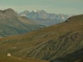
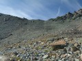
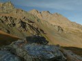
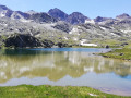
(S) From the Refuge de la Blanche, follow the well-marked and well-trodden path that passes close to the lake.
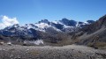
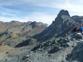
(1) It then climbs relentlessly up to the Col de la Noire. There are no real difficulties, apart from the occasionally steep slope and the rough terrain. You’ll be treated to some stunning views; the landscape is very rocky, green, almost black, reddish and brown, and amidst it all, a few flowers cling on.
(2) At the Col de la Noire, you can head east for a round trip to the foot of the Tête des Toillies summit, or attempt to climb towards the Pic de la Farneireta to pass from the oceanic crust (the serpentine rocks of the Col) to its sedimentary cover; between the two, it’s possible to find asbestos . These two possible detours are not marked here. Descend the pass to head down towards Lac de la Noire.
(3) Continue along the Ubaye to join theGRP® at around 2,640 m, near Lac de Longet.
(4) Follow theGRP® to the right for about 5 km to descend the Ubaye valley and reach almost as far as the Béal de Rubren.
(5) Take the path on the left which climbs to an old green ‘marble’ quarry, then on to the Rubren hut.
(6) From the hut, a track climbs up the Rubren valley and leads to the Pas de Mongioia.
(7). The Franco Boerio bivouac is just behind it, in Italy, on a rocky outcrop above Lake Mongioia. Admittedly, the climb up the Rubren valley isn’t particularly exciting, but the idea is to reach the bivouac as easily and quickly as possible (even if it means a bit more elevation gain), so that we’re ready and have time to head up to the Bric de Rubren in the late afternoon to admire the sunset (S/E).



 Visorando Member
 Moderate