From Saint-Véran to Larche: Ubaye Transfrontière

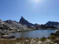
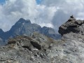
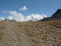
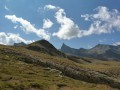
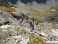
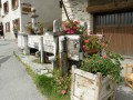
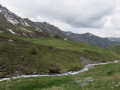
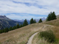
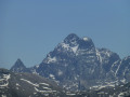
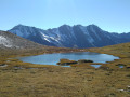
A fantastic Franco-Italian ride between Saint-Véran and Larche! It will take you through strange places, from the solitary, green rocky landscapes of Saint-Véran to the fantastical, almost Dolomite-like terrain of the massif between Chambeyron and Orrenaye.

Details

n°156198
Creation:
Last update:
Last review:
–
  • Walking
    Activity: Walking
  • ↔
    Distance: 49.21 mi
  • ◔
    Average duration: 5 days 
  • ▲
    Difficulty: Very difficult

  • ⚐
    Back to start: No
  • ↗
    Ascent: + 20,728 ft
  • ↘
    Descent: - 21,916 ft

  • ▲
    Highest point: 10,820 ft
  • ▼
    Lowest point: 5,499 ft

Photos

Stages of the route

This route needs several days, find the details below:

  1. S
  2. 2
  3. 3
  4. 4
  5. E

Notes

To get to Saint-Véran, you can take the train to Montdauphin-Guillestre. From there, hitchhiking works quite well.
To leave Larche, please note that there is a free shuttle bus between Larche, Saint-Paul-sur-Ubaye and Barcelonnette. From there, a coach service will take you to Gap railway station.

The various accommodation options are listed in the description for each stage.

Always be cautious and plan ahead when you're outdoors. Visorando and the author of this route cannot be held responsible for any accidents occurring on this route.

Other walks in the area

For more walks, use our search engine .

The GPS track and description are the property of this route's author. Please do not copy them without permission.