Country:

 City:
City:



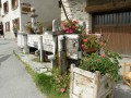
The start of this walk is from the car park below the village library in Saint-Véran, which is situated on the D5 departmental road between the hamlet of Le Raux and Saint-Véran.
(S/E) From the car park, take the road leading down towards La Chalp. After a few dozen metres along the road, take the second path on the left. Follow the red and white markings of the GR®58 Tour du Queyras. Pass through the hamlet of Le Raux, then cross the Pont du Moulin bridge, until you reach the Fontaine du Pont du Moulin.
(1) From the fountain, head up the track to the right, following the yellow markings for the Croix de Curlet.
(2) At the signposts for Le Bosquet (alt. 1,900 m), follow the directions for Cabanes de Laramon, Croix de Curlet and Pic Cascavelier.
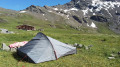
(3) Leave the track and take the path to the left into the Bois du Moulin. Following the yellow markings on the trees, climb up to the junction at the ruined huts of Laramon (watering hole).
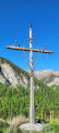
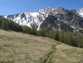
(4) Turn left. At the signposts (alt. 2235 m), follow the signs for Croix de Curlet and Pic Cascavelier. Climb the slope through the mountain pasture heading north to the Croix de Curlet.
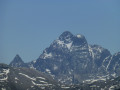
(5) From the cross (elevation 2301), head towards Pic de Cascavelier on the right. Follow the broad ridge southwards, which leads to the foot of Pic Cascavelier.
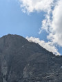
(6) Ignore the path on the right which descends into the valley and continue due south. Climb amongst the rocks along a more or less visible track. Ignore a second path on the right. Continue (as close as possible to the left-hand ridge), ascending towards the summit along a track zigzagging between the rocks. A few exposed sections require caution and the use of your hands.
(7) From the flat area at the summit of Pic Cascavelier, descend southwards, skirting a boulder to the left.
(8) From the pass between Pic Cascavelier and Pointe des Marcelettes, descend to the right, heading west and then north, into the valley. The path, which is steep at the start, joins the Cabanes Laramon, which you passed on the way up.
(4) Follow the yellow markings, descending in the opposite direction to the route taken on the way up until you reach the car park (S/E).
 Visorando Member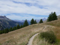
 Moderate
 Very difficult