Country:
 City:
City:


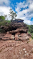
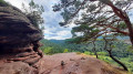
Start: We begin our circular walk at the car park of the German Shoe Museum at Turnstraße 5 in Hauenstein.
(S/E) From here, we walk back to Turnstraße and continue along it to the right. At the junction, we turn left into Burgstraße. At a fork in the road, we take the left-hand branch and are now on Backelsteinstraße. Backelsteinstraße takes us southwards out of the village, past the odd beautifully landscaped garden.
(1) Behind the last house, the Wiesengrund begins on the right-hand side, where the Altwiesenpark is situated. Here, we turn right onto the path, cross the Queich stream and walk round the pond by keeping to the right before it and then taking the second turn-off to the left.
The footpath curves widely across the Altwiesen and crosses the Queich once more. Just beyond the stream, we turn right and continue along the road (Backelsteinstr.) to the right.
(2) We walk past the car park to the Wasgau open-air swimming pool. Behind the building is a driveway. On the opposite side, at this point, two paths run directly alongside each other into the woods.
We take the left-hand path (marked ‘Panoramaweg Hauenstein’, P), which bends left after a few metres and then winds gently up the slope. At a fork, we take the right-hand path, continuing slightly uphill, and then stay on the upper path. After about 400 m, the narrow forest path curves widely to the right; at the next fork, we stay on the right-hand branch to continue walking straight ahead up the slope through the forest.
(3) After about 300 m, the path meets another track. Here we turn right and, immediately after about 50 m, take a sharp right turn. The path now continues in the opposite direction, winding its way up the side of the slope (marked ‘Schusterpfad’ and a red dot). At the end of the ridge, the path curves to the left.
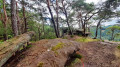
(4) On the right-hand side, a side path branches off towards the Kreuzelfelsen viewpoint.
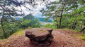
(5) Already visible from the main path, just to the left of it, is a boulder in the shape of a table that has been eroded out of the ground (Tischfelsen). We return along the side path to the main path. Here we turn right.
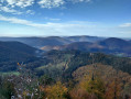
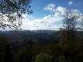
(6) Just 50 metres further on, another side path leads us to the right towards the Kahler Felsen, which offers a wonderful panoramic view.
We walk back the roughly 50 metres to the main path and turn right there, then straight away right again (marked with a red dot and the ‘Schusterpfad’ sign). The path, covered in pine needles, leads us up the Weimersberg for about 300 metres to the next highlight.
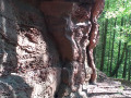
(7) A sign points to the right towards the Dörreinfelsen, which we reach after about 100 metres via a narrow path. Although the rocks and the view here aren’t as spectacular as at the other vantage points, the bizarre, gnarled pines growing up here on the rock are something quite special. We return along the same path and then continue to the right. We continue our walk, following the ‘Roter Punkt’ and ‘Schusterweg’ markings, across the wooded Weimersberg.
(8) Just under 300 m further on, another side path is signposted to the right. The so-called Backelstein, or Fliehburg Backelstein, stretches along a narrow but easily walkable rocky ridge towards the south-west. Back on the main path, we continue to the right.
(9) About 30 m later, we leave the ‘Red Dot/Schusterweg’ markings by turning left and, after 50 m, turning left again onto the Hauensteiner Spazierweg. This takes us down into the valley along a narrow path past further sandstone cliffs. At a T-junction, we turn right and soon reach a zigzagging path leading downhill.
(10) At the start of this section is the Wachtfels.
We pass a building on the hillside and, via another zigzag path, reach a fork where we keep to the right and then immediately turn left. Once we reach Weißenburger Straße, we turn left onto Am Weimersberg and follow it until we reach Turnstraße, which veers slightly to the right.
(S/E) After just under 200 m, we arrive at the starting point, the car park at the Shoe Museum, from where we set off.
A visit to the Shoe Museum is definitely worthwhile, whether before or after the tour.
 Visorando Member
 Difficult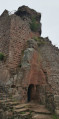
 Easy
Easy