


 Country:

 City:
City:


Parking in the car park opposite the Gimbelhof farmhouse inn.
(S/E) Take the forest road that runs along the left side of the meadow and the right side of the Gimbelhof playground.
(1) Turn left and follow the Red Disc marked trail that climbs through the woods to the Col de Hohenbourg.
(2) Continue to the right at the pass and, after about 50 metres, turn right onto the flat forest path (red triangle) marked Rocher Krappenfels.
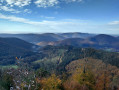
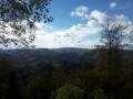
(3) Ignore the path marked "Château du Loewenstein" on the left and continue straight ahead until you reach Krappenfels: enjoy the remarkable view of the Northern Vosges, Fleckenstein Castle and the Gimbelhof farmhouse inn.
(4) Retrace your steps.
Markings: Red rectangle with white stripe
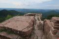
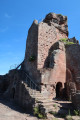
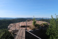
(3) Follow the rocky forest path uphill to the right to reach the ruins of Loewenstein Castle and enjoy the beautiful view of the Northern Vosges mountains from the summit platform.
(5) The path passing in front of Loewenstein Castle leads to the nearby ruins of Hohenbourg Castle. Take advantage of the access to its keep, where an orientation table provides a 360° view of the entire surrounding region. Return to the forest path that descends to the Maïdenbrunen Spring and reaches a crossroads.
(7) Continue straight ahead.
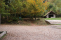
(8) Cross the French-German border a little further on. Take the slightly uphill stony forest path opposite marked "Château Wegelnbourg", leaving the wooden shelter on your left. The path is lined with several large sandstone rocks on the left and, after a short climb, leads to the foot of the castle. On the left, on a small mound, there is a small picnic area.
The ruined castle has been secured and offers a beautiful view of the Palatinate region.
(9) Take the same path back to the French-German border crossing.
(8) Cross the border again.
(7) At the Maïdenbrunen fountain, turn right onto the forest path and follow the signs for "Château de Fleckenstein - Col de Hohenbourg". Continue to the Col de Hohenbourg.
(2) Opposite, take the Sentier des Roches trail, marked with a red triangle, which descends the Langenfels and ends at an imposing rock climbing site. Join the forest road that leads to the former Fleckenstein Forest House, now the "P'tit Fleck" leisure area (restaurant, ticket office, picnic areas, etc.).
(10) Head right towards Fleckenstein Castle along the wide, flat road lined with numerous picnic areas until you reach the castle entrance, which is open to visitors (admission fee).
(11) Walk around Fleckenstein Castle via the small circular wooded path, which allows you to see its imposing structure and rear towers, then return to the old Fleckenstein Forest House.
(10) Opposite, take the Sentier des Charbonniers (Charcoal Burners' Path), marked with a yellow ring, which runs north of the Fleckenstein car parks. Follow it to the end of the last car park along the slightly uphill path and reach the part of the path that crosses the meadow to the Gimbelhof car park (S/E).




 Tourism professional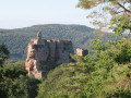

 Visorando Member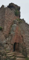
 Moderate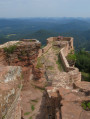
 Difficult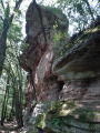
 Very difficult
