Country:

 City:
City:


Park in the car park at the picnic area, which you’ll find on your right as you approach from the D66 (towards Ferrières), just after the bridge crossing the Agout.
Yellow markings: Circular route of Plos
(S/E) Cross the D66 and head west along the old railway line that linked Castres to Brassac. Pass through a short tunnel. The gravel path overlooking the Agout then turns north-west.
(1) Follow the path on the right heading east. At the next junction, take the small path at the bottom, cross the Ruisseau de Ferralde and rejoin the D53 below Le Soulié.
(2) Cross the D53 with care, continue straight ahead and follow the signposts. Pass through the heath of Las Garrigues and continue left onto the road leading to Pébiau.
Yellow signposting for Peyremourou
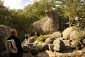
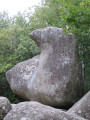
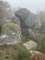
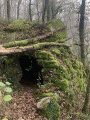
(3) At the entrance to Pébiau, turn left at a bench into a narrow lane lined with old houses and follow the signs for Peyremourou. This very pretty woodland path climbs westwards. It features information boards on the water route, the lives of granite quarrymen and shepherds. Take a short detour to your left to admire the little shepherd’s hut. Shortly afterwards, you’ll approach the Peyre Haute rock and arrive at the old ‘trembling rock’ of Peyremourou.
(4) On the way back, a few metres past this rock – and to avoid a detour via Pebiau – head east onto a somewhat overgrown mountain-bike track which follows the high-voltage power line for about 300 metres before veering off it. The path becomes a track opening out onto meadows. Further on, you’ll rejoin the original signposting.
Yellow markings: Plos circular loop
(5) Turn left, then, 100 m further on, turn right under the high-voltage power line. Continue through meadows to the north-east, following the ‘circular’ ‘Boucle des Plos’ markings, ignoring all paths crossing to the right or left. South of the Puech de Bourion, turn onto a small path through the woodland.
(6) About a hundred metres before reaching a forest track, turn sharply right onto another wide forest track which winds south-eastwards to rejoin a small road before La Canipèze. Walk through this hamlet and continue along the road.
(7) Shortly after crossing the Ruisseau de Ferralde, turn left onto a path through the woodland which winds in wide hairpin bends before reaching Casalits. Take a short stroll around this pretty village with its mountain-like charm. Continue eastwards along a small road until you reach the junction with the D66. Head straight ahead onto a small, shaded path and walk for about a hundred metres.
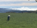
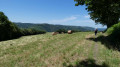
(8) Turn right at a 90-degree angle. Climb gently up onto a vast plateau of open meadows with a stunning view to the south over the Montagne Noire and the Pic de Nore. Further on, you’ll come across the high-voltage power line.
(9) Immediately afterwards, turn south towards Combe Ginestouse. Walk slightly downhill along this path, keeping the same direction, until you reach the Fork in the Road at Bras de Fer.
(10) Turn left, following the signposts for the circular Boucle des Plos. Continue the gentle descent through the meadows until you reach the large farm silo.
(11) Just past the farm complex, turn right onto a wide tarmac track that descends to Le Travez.
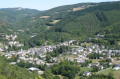
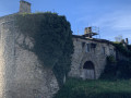
(12) At the very tight left-hand bend at Le Travez, head straight ahead towards the north-west along the small road, which continues as a short grassy track lined with houses. Very soon, as you approach a private gate, turn left onto a narrow track that leads to a pasture. Walk along the north-western edge of this meadow and turn further north at the far end to find a wider path further up, which becomes a tarmac road at Vaissassou. Continue along this small road, which joins the D53 at the entrance to Ferrières. After 200 m, you’ll emerge onto the village’s main square, where you can admire the imposing Château de Ferrières (private and not open to the public), steeped in history.
(13) At the sharp angle formed by the road you’ve just come along and the road running alongside the château, head due south along a grassy path that descends steeply into a wood. Take care in wet weather. Further down, you’ll rejoin the road leading up to Ferrières. Take this road to the left at the start of a tight bend.
(14) As you come out of the bend, turn onto a small path on the left which opens out onto the parapet. Descend steeply towards the mill before returning, via a path overlooking the Agout, to your starting car park (S/E).

 Visorando Member
 Difficult
 Tourist office
 Easy
Easy