Country:

 City:
City:


The start is at the Vaux-Lès-Saint-Claude sports ground, on Rue de Saint-Romain, just after the bridge over the Bienne. A small car park is available on the right-hand side of the road.
(S/E) Take the small road leading away from the river, then turn left.
(1) About a hundred metres further on, look out carefully for the start of the path on the right (there is a small sign marked ‘S.R.’).
Through the woodland, the path climbs quite steeply with a fairly steep and continuous gradient. This is the main challenge of the route. Along the way, avoid a path on the left, then, immediately afterwards, one on the right.
Please note:
- I recommend not doing this route in the downhill direction.
- Avoid this route in wet weather as the ground may be very slippery.
- Take care to stay on the marked path (there are orange markings).
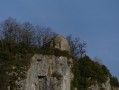
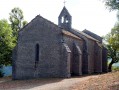
A little further up, you’ll reach a small flat section. After a low wall, turn right onto a path that remains somewhat steep. After a few short hairpin bends, you’ll reach another flat section (secured by a rope just before it) and then quickly arrive at the Saint-Romain-de-Roche Chapel.
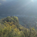
(2) From the chapel, enjoy a beautiful view over the Bienne Valley. This is also a historic site where, to this day, only the chapel—believed to date from the 13th century—remains. Continue along a well-maintained path leading to Saint-Romain-de-Roche. About 200 metres further on, you’ll reach a fork in the path; turn left towards Champied. An uphill path leads you a little higher up to a well-maintained track at Roche de Vaux. Follow it to the left. The route then continues across a plateau with no significant change in elevation.
(3) At a junction signposted ‘Bois de Champois’, carry straight on towards Champied. A little further on, at a second junction (Champied), turn right towards the Marble Quarry.
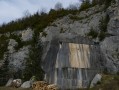
(4) About 200 metres further on, you’ll reach an old marble quarry (worth a look). Retrace your steps and turn left, then fairly soon take a path on the right as indicated by the markings (and a sign). Continue straight ahead (south).
(5) After a few minutes, you’ll reach and cross the D300 road to take another path (here you’ll leave the yellow markings). Quite soon, you’ll come to another path which you should take on the right. A little further on, turn right towards Saint-Romain-de-Roche. Turn right again a little further on to reach Saint-Romain-de-Roche, which you should walk through (towards the chapel).
(6) At the bread oven, take a track on the left.
Enter the forest and, quite soon, take a track on the right: after crossing a small meadow, you’ll come to a larger one; carry on straight ahead through this clearing to reach the forest, where you should look out for the start of a path (in the middle on the right): this path descends quite steeply, though less so than the one taken on the way there; you may spot some traces of markings (yellow-red and orange). After a good few minutes’ descent, you’ll reach a small road. .
(7) Take this road to the right. A little further on, turn left to return to the starting point (S/E).

 Visorando Member
 Easy
Easy 
 Moderate