Country:
 City:
City:


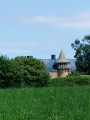
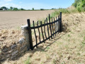
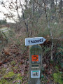
Park in the village car park, opposite the town hall. GPS: N 48.764741° / W 3.199774°
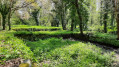
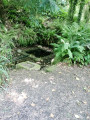
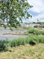
(S/E) Take the coastal path along the inlet known as “Le Moulin de Bizien”. After 1.4 km, you’ll reach the first heritage site: the flax retting pits. Follow the path through the old pits, which have been fully restored, where flax was once “retted” – that is, the fibres were separated by soaking.
(1) At the far end of the basins, turn right onto the grassy path leading uphill and continue to a house called Malaban.
(2) Turn right onto the tarmac road, ignore the turn-off leading to Kerandraou Manor and carry on straight ahead towards the hamlet of Saint-Anne, ignoring the turnings to the right and
left. Keep to the right at the hamlet of Kerguyomard. Walk past the Chapel of Saint-Anne.
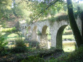
(3) At this junction, take a short detour to reach Le Jaudy at the hamlet known as Baie de Saint-Anne: at the far end, on the right, you’ll see the Canada Bridge at Tréguier. Retrace your steps and rejoin the tarmac road on the right. Pass through the hamlets of Kernevez, Goarisson, Quément and Kerbian and cross a road on the left.
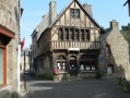
(4) Turn left, then, 50 metres further on, turn right to head straight for the Quatre Vents crossroads. Continue straight on along Rue de la Forge, then along Rue Saint-Ildut, passing through the village centre to the town hall.
(5) Pass the cemetery, turn right into Rue de Hengoat and head for the hamlet of Le Cosquer. Turn left onto a grassy track in front of Kerséhan. Walk past a large farm, heading towards Koat Aval, until you reach a junction.
(6) First turn right then left, and keep to the right, ignoring a path off to the left, until you reach a crossroads. Turn right towards the wayside cross.
(7) At the Koat Aval wayside cross, continue straight on along a grassy path. You’ll reach Rue de Villeneuve Ar Gernevez.
(8) Turn left and head back down towards the village, ignoring the paths on both the right and left. Walk past the church on your left to reach the starting car park (S/E).



 Visorando Member
 Moderate