Country:

 City:
City:


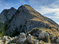
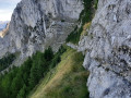
From Digne, take the Route de Barcelonnette, then turn right onto the D22 towards Draix and follow signs for Archail on the right. Take the track – which is in poor condition – leading to the Vieraron dam and park towards the end of the track.
(S/E) Follow the track until you reach a four-way junction.
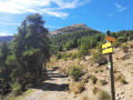
(1) Leave the track and head up the path opposite. Further up, cross back onto this track, continue straight ahead along the path and reach a crossroads.
(2) Keep to the right to join an old logging track. Climb up to the edge of the ravine. Turn left to follow the ravine. Climb a steep slope through the forest to reach a scree slope.
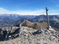
(3) Turn right, reach a 2-metre-high rocky ridge and follow it. At the end, continue traversing to the right (2 gullies) and climb up the left-hand side of the second gully until you reach a grassy ledge beneath the 2-metre-high rocky ridge. Follow it as it curves around a pine tree, where you’ll then find the trail again. Continue with an ascending traverse over easy terraces to reach the ridge marked by a cairn and a stick.
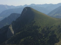
(4) Climb to the left of the ridge until you reach a rocky outcrop a few metres high; scale it easily (using your hands if necessary) by following old yellow markings. Continue to the right of the ridge line until you reach the Sommet du Couard.
(5) Descend via the yellow-marked winding path. Join a track leading to the Pas d’Archail. Follow it to the left and reach the summit.
(6) Take the correct path opposite, across the Pas d’Archail ridge. Descend via the numerous hairpin bends and, further down, return to the four-way junction you passed on the way up.
(2) Turn right and retrace your steps along the route you took on the way up to return to the car park by the dam track (S/E).
 Visorando Member

 Very difficult
  Moderate
 Easy
Easy