Country:

 City:
City:



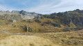
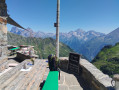
The starting point for this stage is at Oberalppass station.
From Andermatt, take the train to Oberalppass.
Signposting: signposts with the No. 49 symbol on a green background (Vier Quellen Weg).
(S) From Oberalppass station , head towards the lighthouse. Heading south-southeast, take the path running alongside the pass road until you come to the first sign bearing No. 49.
(1) Continue south on the Four Springs Trail until you reach a ‘No Entry’ sign. At this point, due to a rockslide, a diversion is in place until further notice.
(2) Follow the alternative path, which includes a descent followed by a 100-metre climb. Rejoin the ‘4 Sources’ path at the end of the diversion.
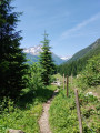
(3) Walk along the Vier Quellen Weg until you reach a junction marked by sign No. 49.
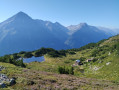
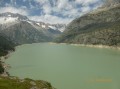
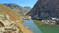
(4) Turn right towards Lake Tuma (Lai di Tuma or Tomasee). Climb up the mountainside and, after a few hairpin bends, reach the eastern end of the lake and its spillway. An engraved marker indicates the source of the Rhine (first source, Rein da Tuma).
(5) Continue along the ‘Path of the Four Springs’. Cross a fairly rocky area before joining a track (sign No. 49).
(6) Follow the track to the right. Shortly afterwards, note the second source of the Rhine (Rein da Maighels). Head due south until you reach another junction (sign No. 49).
(7) Turn right and climb the Maighels Pass. This pass marks the border between the Canton of Uri to the west and the Canton of Graubünden to the east.
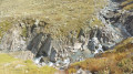
(8) Descend on the other side and walk alongside an unnamed lake on your left. Make a long descent towards Vermigel-Boden. You’ll reach a bridge over a torrent.
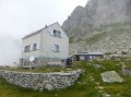
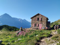
(9) Cross the bridge and follow the signposts up a very steep slope back to the Vermigel Hütte (E).
 Visorando Member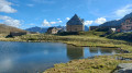
 Moderate