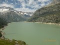
Sunnigrathütte – Arnisee

A two-day hike with an overnight stay at the Sunniggrathütte. This route takes you up to the Sunniggrathütte along the Leitschachbach

The ascent suggested here is steady but offers little shade. A more direct but steeper ascent is possible by taking the path at the far end of the lake

Details

102859355
Creation:
Last update:
Last review:
  • Walking
    Activity: Walking
  • ↔
    Distance: 3.70 mi
  • ◔
    Average duration: 3h 55 
  • ▲
    Difficulty: Moderate

  • ⚐
    Back to start: No
  • ↗
    Ascent: + 2,559 ft
  • ↘
    Descent: - 433 ft

  • ▲
    Highest point: 6,847 ft
  • ▼
    Lowest point: 4,465 ft

Photos

Description of the walk

(S) The hike starts at the cable car terminus. You take the cable car from Intschi. An impressive, very steep ascent. Paid parking opposite the cable car station.

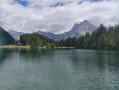
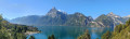
On leaving the cable car, walk along the lake to the fork

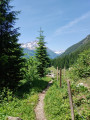
(1) and take the wide path that climbs to your left towards the Leutschachhütte or the Sunniggrathütte. Follow the red and white markings. The path turns into a trail that climbs steadily alongside the stream

Caution: the climb is in full sun. Make sure you take plenty of water. The water at the Sunniggrathütte is not drinkable and bottled water is expensive.

(2) Turn right onto the path leading to the Sunniggrathütte and ignore the one going straight on to the Leutschachhütte. This will be your return route.

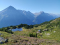
(E) Arrival at the summit of the Sunnig Grat at 2,034 m. No technical sections; a relatively easy climb, apart from the elevation gain.

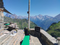
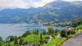
Stunning views from the summit, stretching as far as Lake Lucerne and the Four Cantons Lake.

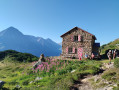
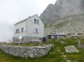
We’ll spend the night at the Sunniggrathütte, which can be seen below the summit. No drinking water, no showers.

This hike continues on day 2

Waypoints

  1. S : mi 0 - alt. 4,465 ft - Arnisee
  2. 1 : mi 0.16 - alt. 4,514 ft - Junction
  3. 2 : mi 2.06 - alt. 5,712 ft - junction
  4. E : mi 3.7 - alt. 6,575 ft - Summit of the Sunnig Grat

Notes

Be aware of traffic jams on the Gotthard climb depending on the time of day and season

Paid car park opposite the cable car station; coins only

Restaurant at the cable car station

The ascent is in the sun and there is no drinking water along the way or at the hut

This hike continues on day two.

There is a quicker route to the same summit via the following path, which branches off to the left at the lakeside and climbs through the shade of the forest, but the ascent is steep. Click here to view the details.

Worth a visit

Stunning panoramic views from the summit

Other walks in the area

For more walks, use our search engine .

The GPS track and description are the property of this route's author. Please do not copy them without permission.