Country:

 City:
City:


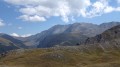
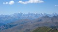
Access: From Briançon, cross the Col de Montgenèvre, head down towards Turin, then exit at the foot of the pass at Cesana Torinese. Cross the village heading south and take the SP215 towards Sauze di Cesana. Pass through Bousson and, on leaving the village, take the road on the right towards Thures. Drive through the hamlet and follow the track to Rhuilles. On leaving the hamlet, turn right, cross the Thuras stream and park on the left-hand side of the track. There is space for five to six vehicles.
(S/E) Follow the track uphill towards the Col de Chabaud to the ruins of the hamlet of the same name. Continue past the hamlet.
(1) At the junction, turn left and follow the Chabaud torrent along the Sentiero Balcone.
(2) At the next junction, leave the Sentiero Balcone leading to the pass and take the path on the left towards Mont Giassez.
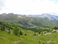
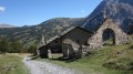
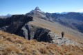
After a traverse along the hillside towards the east, the path winds its way up the northern ridge of our summit. At an altitude of around 2,400 metres, the path emerges from the forest and leads into the pastures. You will come within sight of a military building.
(3) After passing the building and reaching the cairn, take a sharp left-hand bend. You’ll come to a second building; continue along the path to reach the summit, marked by a cairn.
(4) Return along the same route in the opposite direction to the car park (S/E).

 Visorando Member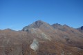
 Moderate
 Easy
Easy