Country:
 City:
City:


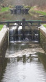
The starting point is situated on the banks of the Ille and Rance Canal at Langager Lock. Take the D221 road linking Guipel to Montreuil-sur-Ille and park at the car park for Langager Lock No. 17, on the right-hand side as you approach from Montreuil.
Yellow signposting
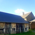
(S/E) Set off along the towpath on the bank by the car park, heading north. You’ll soon come to a second lock: Chanclin Lock No. 18 (food and drink available in season). Further on, pass the third lock: Les Cours Gallais Lock No. 3. This lock also serves as a stopover lodge for walkers (Gîte de Courgalais). Continuing along the same bank towards the north-west, you’ll reach Lock No. 20 at Ville Morin. This lock marks the start of the long leat and is the highest point on the canal.
(1) Immediately after the lock, note the mouth of a feed channel on the left: the Chenay Piquelais channel. Follow the path running alongside the channel heading due south. After 700 m, you will reach La Ville Au Duc farm. Then turn left onto the well-graveled farm track heading east. Follow it to its end, where it joins a tarmac road.
(2) At the junction, follow the road on the right until you reach the junction with the D221 at a place called La Haute Rivière. Cross the D221 carefully and continue straight ahead for 50 metres. Look out for the start of a path on the left.
(3) Take this path, which starts under the trees. Follow it eastwards. Further on, at a high point, cross a road.
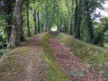
(4) Carry on straight ahead. After about 500 m, the path turns 90° to the right along a tree-lined embankment and then joins a tarmac road. Follow it to the left and head back down to the canal at Lock No. 15 on the Ille.
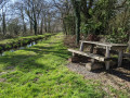
(5) At the lock (there isa picnic table on the left bank downstream), turn left along the towpath and pass the fifth lock: Lock No. 16 at La Haute Roche.
(6) Continue on, cross the D221 with care and return to the car park at Lock No. 17 at Langager. (picnic tables) (S/E).
 Visorando Member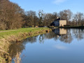

 Association / Club / Walk leader
 Moderate