Country:

 City:
City:


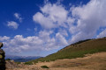
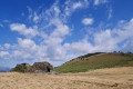
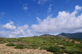
From Perpignan, head towards Andorra via the dual carriageway. Pass through Prades and Villefranche-de-Conflent. On leaving Olette, turn right opposite the old petrol station, before the bridge over the Rivière d’Évol. Continue along the D4. Pass Évol on your right. Cross the Rivière d’Évol via the road bridge. Take the first road on the right towards Oreilla until the end of the D4b. Park in the bend to the left.
Very old yellow markings
(S/E) From the bend, head uphill due south along Carrer (rue) del Souler, passing a fountain and washhouse on your right. Remember to fill up with water. Continue like this for about 100 m.
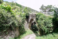
(1) With your back to the staircase leading down to the village on the left, turn right between two houses and head uphill along a marked path. There is an old wooden sign attached to the wall of the house.
(2) Further up, cross the old Oreilla canal. Close the electric gate. Cross the first track suitable for vehicles. Join a second track, partly overgrown with grass (not shown on the base maps).
(3) Cross this track and you’ll find the continuation of the path ahead, marked by a cairn. Rough yellow markings appear.
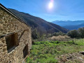
(4) Turn left, looking out for a yellow mark on a rock, and branch off to the left to reach, further on due south, the ruins of the Old Church of Celrà (Salra on the IGN map). There is an information sign.
(5) Continue straight on. Pass a retention basin on your left. Join a track. Turn right onto this narrow old track.
A few cairns
(6) Now climb steeply up this narrow old track, heading north-west. The gradient eases slightly before reaching the Serra (mountain) de Palmes at an altitude of 1,340 m.
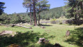
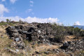
(7) Continue climbing in the same direction. Further on, you’ll reach the Pla (plain) Diagre, a vast, relatively flat grazing area with the ruins of large sheepfolds.
(8) Turn left, heading north-west, and climb the steep slope along the grassy ridge, following a path that is more or less visible on the ground but has a steep gradient.
The landscape makes all this effort worthwhile.
Reach the first summit at an elevation of 1,656 metres, marked by a cairn with two steel bars driven into it.
The summit of Llomet is 80 metres further on at an elevation of 1,662 metres. Another large cairn marks the spot.
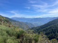
A stunning 360° view. Views over the villages of the Garrotxes. A lovely spot for a first break.
(9) Then head down generally northwards to the Llobadides Pass at an elevation of 1,660 metres.
(10) Continue due north towards the ruins of the Llobadides sheepfold on your right.
(11) Please note: leave a clearly marked path that runs along the hillside to the right, heading due north.
Look for a well-marked path on the ground, strewn with pebbles and flat stones, which continues north-north-west slightly below the ridge on your right.
You’ll reach Les Mosquirols at elevation 1761, another site that was once inhabited: there are ruins of large sheepfolds here.
(12) Continue climbing steeply in the same direction, over the grassy ridge. The slope levels out slightly.
Reach a flatter area at Pla de l’Estanyol – La Torrella at an elevation of 1,905. There is a large orri and a rock shelter here.
Stunning 360° views. A lovely spot for a lunch break.
(13) Note that from this point, it is possible to continue on to Llavanera (elevation 2025), Roc d’Abaula (elevation 2061) and Puig d’Escotó (elevation 2292).
As for us, we turned back and, following the route in reverse, made our way to the ruins of the Llobadides sheepfold, which we’d already passed on the way there.
The return journey is easier as it is straightforward to navigate and avoid all the areas overgrown with broom.
(10) After a slight descent, with the ruins on your left, head due south along a path that is relatively well marked on the ground. Keep to the hillside to avoid climbing back up to Llomet on your right.
After a very pleasant walk with a stunning view over the Ribera d’Évol Valley, rejoin the path you took on the way up and head for the Pla de Diagre and the ruins of the sheepfold you passed on the way there.
(8) From here, follow the route back in the opposite direction to the outward journey to reach the car park at the start (S/E).


 Visorando Member
 Moderate