Country:

 City:
City:


By car: head to the car park about a hundred metres south-east of the Col de Marcieu, i.e.:
- coming from the south: at Saint-Nazaire-les-Eymes, take the D30, then at Saint-Bernard-du-Touvet, take the D30c;
- from the north: at La Flachère, take the D282, then the D30c.
(S/E) From the Col de Marcieu car park, head up towards the pass along the D30c for 20 metres and cross it to reach the road opposite.
(1) At the hiking sign for “Col de Marcieu, alt. 1,065 m”, follow the road towards “l’Aulp du Seuil” (yellow/red markings). This continues as a forest track to the right (north). After about 300 m, ignore the path opposite at the left-hand bend and continue along the track to the left for about 100 metres.
(2) At the hiking signpost “Piste Forestière, alt. 1130 m”, ignore the path on the right towards “l’Aulp du Seuil” and carry on straight ahead along the unmarked track for about 500 m (west).
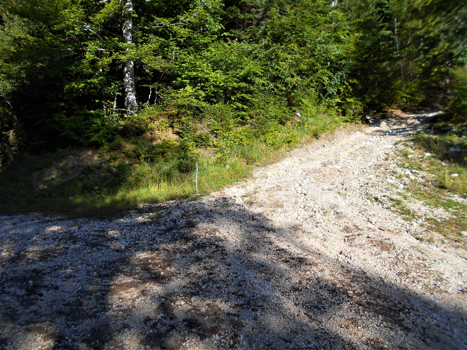
(3) At the junction, ignore the track leading uphill to the right and continue straight on, slightly uphill, for about 1 km (south then south-west), passing the sign for “Forêt communale de Saint-Bernard du Touvet”. Continue for about 300 m until the start of a gentle descent at a crossroads . Photo: Junction marker.
(4) Leave the track continuing straight ahead and take a path climbing to the right (north), marked in yellow or sometimes yellow and red. 500 m further on, it crosses a track. Continue up the slope straight ahead for a few tens of metres until you reach a junction.
(5) This junction is marked by a sign reading “Sous les Charassons, alt. 1330 m”. Turn left towards “Les Playères” and ignore the sign for “l’Aulp du Seuil” straight ahead. The path climbs for about 400 m before levelling out almost completely. A stream crosses it, followed by a second one near some plastic containers designed to collect runoff. Less than 100 m further on, walk along the right-hand side of a rock face approximately 3 m high and 5 m long. Photo: Rock face. Note that 20 m further on, there is a path on the right, hidden by vegetation, leading uphill in the opposite direction, at the foot of a small rock often marked by a cairn (alt. 1,430 m). Photo: small rock landmark. If the path becomes steeper, it means you have gone past it; turn back, especially as it is more visible from this direction.
(6) Head north and take care not to lose the path. Climb and descend, sometimes zigzagging through the woods (north-east), whilst drawing closer to the cliff. Cross the scree and reach a wide rocky couloir covered in a long scree slope. It begins at the foot of a chimney topped by a large wedged boulder (alt. 1,500 m) . Photo: chimney in the scree couloir.
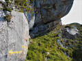
(7) Climb up this scree slope on the right-hand side, crossing two small rocky ledges. Reach the foot of the chimney; do not climb it head-on and ignore the path on the left, continuing instead along the clearly visible one on the right. Climb up an earthen mound and reach a rock painted with yellow stripes: this marking is present along the rest of the route. Reach the cliff either head-on or via the less steep route to the right. At the top, at the junction at the foot of the cliff, ignore the path to the right. To the left, bypass the first exposed vertical crack and, right next to it, climb the second one, which slopes to the left up the hillside. Photo: crack leading to the chimney.
(8) Descend to the left through the scrub and cross over the top of the chimney. Go round its western edge along an exposed ledge. In a cirque, follow the switchbacks up a grassy slope. At the top, on the left, enter a copse. Climb up two gaps. Reach a grassy slope topped by a rocky ridge. Photo: Grass-covered slope beneath the ledge. Climb it in a zigzag pattern, taking care not to stray too far from the cliff on the right, to reach a junction on a lovely ledge sheltered beneath the rock. Photo: Ledge sheltered beneath the rock.
(9) Written in yellow paint on the rock face is ‘Cheminée’, with a yellow arrow to the left and a Yellow Cross to the right. Follow the arrow, taking the ledge on the left which runs alongside the rocky outcrop (south-west). At the end of the ledge, go round the rocky outcrop to the right. Climb up a small gap and ascend a grassy slope to reach the foot of another rocky outcrop.
(10) Climb its weakest point, a 5-metre-high crack which is exposed despite the cable securing it . Photo: cable-secured wall. After a difficult first move, on emerging from the crack, head right up steep, grassy steps which are exposed and slippery in wet weather. Pass the base of a rocky ridge; after a short descent, go round another ridge by climbing a hillock through the scrub.
(11) Make your way to a small, low-lying ridge on the slope. Climb up the foot of its left flank to the small dihedral formed with the cliff opposite. Climb it, checking the stability of the holds and footholds. Reach the ridge, which is marked, one metre from the edge, by a barbed-wire fence.
(12) On the rock face, there are two signs prohibiting entry onto the private property of Mr Bruno de Quinsonas-Oudinot at the edge of the ridge. For the descent, do not attempt to join the Aup du Seuil to the right, as you risk being fined. Retrace your steps and return to the car park (S/E).



 Visorando Member
 Moderate
 Easy
Easy 
 Very difficult