Country:

 City:
City:


Parking is available at the town hall car park.
(S/E) Set off along the path closed to vehicles. You’ll come to the ‘Banc à Suzanne’ on the left, which offers a lovely view of Celle (especially in winter when the trees are bare).
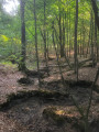
(1) From this bench, start by descending the hairpin bends, then a steeper slope through the woodland to reach the cemetery and then a road at the Aulne.
(2) Cross the bridge over the D61 to the right, then take the path, Chemin Neuf, on the left. After about a hundred metres, turn right along the small stream through the woodland. The path continues at the junction, heading up to the right alongside the fields of the hamlet of La Noue – from where you’ll enjoy a lovely view – until you reach a fork marked by the natural arch formed by a large fallen oak tree.
(3) From there, you can head down to the farm, on the right-hand side of the D61, for a break during opening hours (http://www.fermedelanoue.net/).
(3) Once back at the natural arch, carry on to the right. The path is a little unclear; follow the yellow, white or orange markings on the large oak trees.
(4) A little further on, follow a wide but little-used path to the Millaud forest junction. Continue along this wide path and you’ll come out at the Millaud junction.
(5) Take the Route des Vallées on the right towards the D61.
(6) Once on the D61, follow it to the right along the roadside embankment towards the next hamlet, La Brelinquinerie.
(7) On your left, you’ll find a path leading to the entrance to the Bois des Gaules at a junction.
(8) Follow the path to the right, which runs alongside the river, until you reach the rear of the Ferme de la Noue.
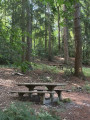
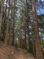
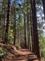
(9) Continue straight on and then walk through a forest of rather remarkable Douglas firs. The path takes you back to the cemetery. Join the D61 road.
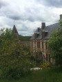
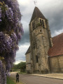
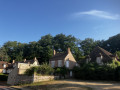
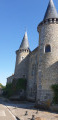
(2) This time, follow it to the left, ignoring a road on the left, until you reach the Duchess of Uzès’s hunting lodge (guided tours available for a fee by appointment) and Saint-Germain Church (no tours).
(10) Retrace your steps slightly to follow a path on the right between the hunting estate and a house. When you reach the area near the school, follow the path on the right which takes you back onto a road; keep right. Turn left at the first street, then left again to return to the car park (S/E).


 Visorando Member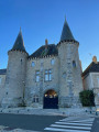

 Moderate