Country:

 City:
City:


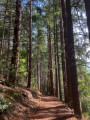
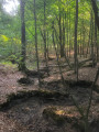
(S/E) Start this walk from the town hall car park by walking round the stadium, through the woodland, until you reach Chemin du Bois des Gaules.
(1) Take this path and walk alongside the gardens of the houses on the outskirts of the woods until you return to the D72 road.
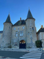
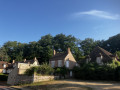
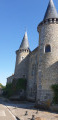
(2) Follow this road to Place des Bordes, where you can admire the two turrets of the former entrance to Château des Bordes, as well as the restored square.
(3) Continue along Rue du Moulin de Béchereau, which you’ll soon leave on the right to take the Sente des Marinaux (not shown on the OSM base map).
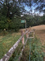
(4) The path narrows and winds its way between two properties before emerging into a pasture with horses, which you cross to reach a cleared passageway leading out of the field. Ignore a path on the left that joins Rue du Moulin de Béchereau. Please note: the path shown on the OSM map is incorrect; you must head right to the bottom of the field.
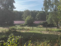
(5) Turn slightly left to take the path, then follow the Sente des Enclos to the left, with a lovely view of pastures and horses. Leave the path and take Rue du Moulin de Béchereau on the left.
(6) The street takes you back to Place des Bordes.
(3) Walk alongside the D72 in the opposite direction to your outward journey.
(2) Without turning into the large side streets, as you did on the way there, carry on straight ahead, then turn right and then left into Rue du Bois des Gaules to return to the town hall car park (S/E).
 Visorando Member

 Moderate