Country:
 City:
City:


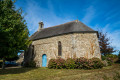
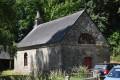
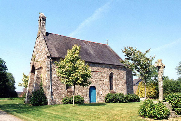
Parking is available at the Chapelle Saint-Guénaël car park (19th century).
(S/E) Follow the road north-east, away from Gomené.
(1) At the junction, go straight on. Continue north-north-east, ignoring the side roads.
(2) At the junction, turn right towards Kerméré. Go round the farm buildings at Kerméré on the left.
(3) At the corner of the last building, take the path on the right. Take the first left (elevation 187).
(4) On the road, turn right. Head south along a section ofthe GRP® Tour du Pays Gallo (the yellow or red and yellow markings are very sporadic), first on tarmac and then on a track.
(5) When you reach a small road, follow it to the left. At the junction, go straight on towards Castenouët.
(6) In the village, take a path on the right at an acute angle. Head down into the Ramée valley then back up to La Feriolaie. Walk through the hamlet and you’ll come to a T-junction.
(7) Follow the road to the left for about 150 metres and take the first right towards La Vieille Ville. Continue along this small road and pass through the hamlet of Le Vau Janot.
(8) About 150m after the hamlet, take a path that heads right into the woods. On this section, follow the ‘MTB route’ signs. Emerge from the woods at Ville Neuve and follow the small road to the left.
(9) Take the first path on the right, which leads into the woods (red and yellow markings). This section through the woodland has several tracks made by mountain bikes or quad bikes. After about 200 metres, turn right (leaving theGRP®). At the next junction, turn left and follow the red and yellow markings again.
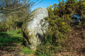
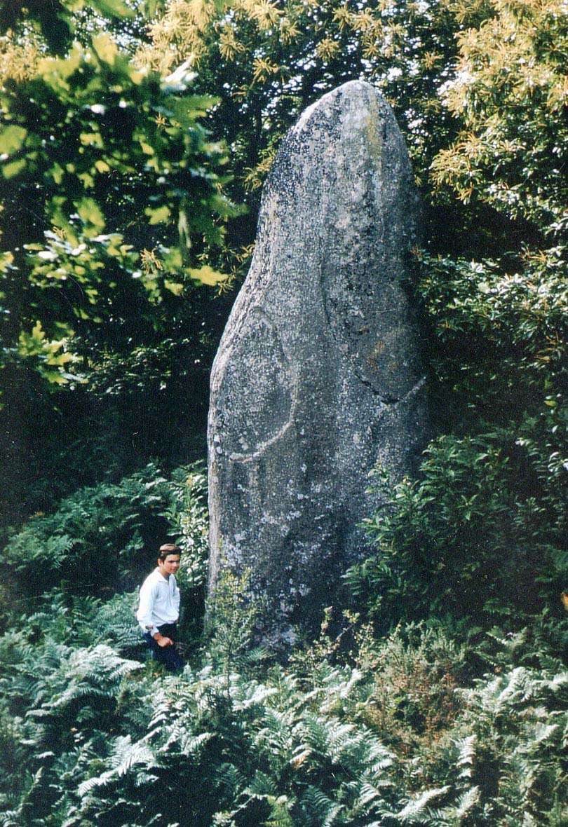
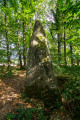
(10) Walk past the monumental menhir at La Pellionnaye. Immediately afterwards, take the sunken track on the right. On the small road, turn left.
(11) At the next junction, turn left again. At the following junction (cross), take the road on the right towards Les Vaux Brûlés. Cross the farmyard and continue along a track. Go round the hamlet of Les Bas Aulnais on the right. At the Fork in the road, turn right, leaving a pond on your left. You’ll come to a junction near a pond.
(12) Walk round the pond, either clockwise (as shown on the map) or anti-clockwise.
(12) Follow the road south (straight on if you’ve chosen to go clockwise, otherwise turn right). Walk past the Manoir des Aulnais (17th century).
(13) Take the first path on the right, behind a small cross nestled between two trees. Walk alongside a pond on your left and ignore a path branching off to the right. Then turn left and, as you emerge from the woods, continue straight on until you reach the road.
(1) Turn left towards the Saint-Guénaël chapel (S/E).

 Visorando Member
 Easy
Easy 
 Difficult