From Err to Núria via the Col des Finestrelles

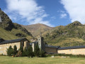
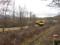
A superb hike that takes you from the French Cerdagne to the splendid Sanctuary of Nuria in Spain, via the Col de Ségalère and the Col des Finestrelles. Once you arrive in Nuria, you can spend the night at the Xanascat hostel if you’ve booked in advance and enjoy the area, which is the starting point for numerous walks; or you can return to France by train: Ribes de Freser, then on to Puigcerdà and finally the Yellow Train to Err, or the LiO buses.

Details

38650416
Creation:
Last update:
Last review:
  • Walking
    Activity: Walking
  • ↔
    Distance: 9.35 mi
  • ◔
    Average duration: 7h 55 
  • ▲
    Difficulty: Difficult

  • ⚐
    Back to start: No
  • ↗
    Ascent: + 4,177 ft
  • ↘
    Descent: - 2,356 ft

  • ▲
    Highest point: 8,550 ft
  • ▼
    Lowest point: 4,541 ft
  • ⚐ Country: France
  • ⚐
    Areas: Pyrenees, Cerdagne
  • ⚐ City: Err (66800)
  • ⚑
    Start: N 42.439069° / E 2.03688°
  • ⚑
    End: N 42.397264° / E 2.154867°
  • ❏
    IGN map(s): Ref. 2250ET, 2250ETR
  • Hour-by-hour weather

Photos

Description of the walk

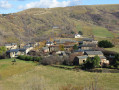
Head to Err, 66800 Pyrénées-Orientales. Park in the square at 1, Camí de Núria.

The route is signposted with trail markers.

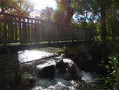
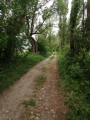
(S) Take the Camí de Núria. Leave the village and head straight up the track. A little further up, cross a log bridge and carry on.

(1) Turn left and begin the switchback ascent towards the Camí de Núria refuge

(2) At the refuge, continue the ascent.

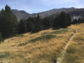
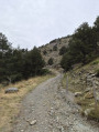
(3) You’ll reach a junction; there’s aPR®® sign on the left leading back down to Err via the Col del Forn. Take the path on the right and continue the ascent, which is quite steep, particularly in the wooded section. You’ll reach a first, then a second, flat section. Use the trail markers to find your way. After a final short climb, you’ll reach the Col de Ségalère (Coll de Segalera).

(4) The Col des Finestrelles is clearly visible to the south-east. At this point, you have already climbed 900 m of the 1,200 m elevation gain involved in the hike. Take the path on the right towards Nuria (signposted), which crosses the woods. Continue out of the woods into the valley.

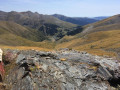
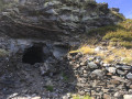
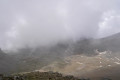
(5) You’ll reach the source of the Sègre. Top up your water supplies (on 20 August 2023, despite the drought, the water was still flowing abundantly). Continue towards the pass visible ahead. Pass a cave and reach the Col de Finestrelles at an altitude of 2,604 metres.Magnificent view of the sanctuary of Nuria below.

(6. Descend, following the GR® T73 markings, which are very well signposted.

(7) Cross the River Finestrelles via a small bridge (which you have already crossed twice further upstream). Take the opportunity to take off your shoes and dip your feet in the water.

(E) You’ll arrive at the foot of the cable car that goes up to the Xanascat inn. Please note: you must buy tickets at the Sanctuary of Nuria; they are valid for two days.

Waypoints

  1. S : mi 0 - alt. 4,544 ft - Car park: number 1, Camí de Núria - Gare d'Err
  2. 1 : mi 1.36 - alt. 5,312 ft - Start of the switchback climb
  3. 2 : mi 2.15 - alt. 5,791 ft - Refuge ou Refugi Cami de Nuria
  4. 3 : mi 2.66 - alt. 6,207 ft - Junction
  5. 4 : mi 3.37 - alt. 7,129 ft - Ségalère Pass (Coll de Segalera)
  6. 5 : mi 5.84 - alt. 7,864 ft - Sources of the Sègre
  7. 6 : mi 6.87 - alt. 8,540 ft - Finestrelles Pass
  8. 7 : mi 8.91 - alt. 6,575 ft - Finestrelles River
  9. E : mi 9.35 - alt. 6,388 ft - Mountain refuge – Cable car

Notes

(5) Water source: the headwaters of the Sègre.

Worth a visit

We spent a day in Nuria before heading back. A magnificent and peaceful spot, a hiker’s paradise.

Always be cautious and plan ahead when you're outdoors. Visorando and the author of this route cannot be held responsible for any accidents occurring on this route.

The GR® and PR® markings are the intellectual property of the Fédération Française de Randonnée Pédestre.

Other walks in the area

For more walks, use our search engine .

The GPS track and description are the property of this route's author. Please do not copy them without permission.