The Grès Salé Route in Ferrière-la-Petite

FOLLOW THE DETOUR IN PLACE WHILE WORKS ARE ONGOING

A family route to discover the heritage of Ferrière-la-Petite. Along the route, in wet weather, waterproof footwear is essential (sections through woodland and along the River Solre).

This route is included in the PDIPR (Departmental Plan for Walking and Hiking Routes).

Details

n°1310645
Creation:
Last update:
Last review:
  • Walking
    Activity: Walking
  • ↔
    Distance: 3.06 mi
  • ◔
    Average duration: 1h 30 
  • ▲
    Difficulty: Easy

  • ⚐
    Back to start: Yes
  • ↗
    Ascent: + 75 ft
  • ↘
    Descent: - 72 ft

  • ▲
    Highest point: 535 ft
  • ▼
    Lowest point: 440 ft

Photos

Description of the walk

Starting point: Ferrière-la-Petite, town hall car park. Follow the yellow signposts.

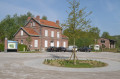
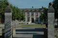
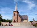
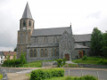
(S) Pass to the right of the town hall and the Pottery Museum, then turn left onto Rue de l’Église. At the junction, head up to the right and then down the Rue d’Obrechies on the left.

(1) Follow Rue Marx Dormoy to the right along the Ru d’Haye. At the Fork in the road, take the left-hand path and cross the bridge on the left onto Rue Denise.

(2) Turn left into Rue Gabriel Péri. At the Fork in the road, head slightly left, go downhill and then turn right. Opposite No. 6, go under the archway and walk down the alleyway. At the end, go downhill to the left, then take the first street on the right.

(3) At the junction, head up Rue Henri Devorsine to the right. At the top, turn left.
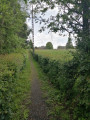
Walk to the right along the edge of the woods and, 250 metres further on, at the Fork in the road, carry straight on through the woods.

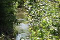
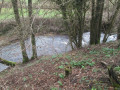
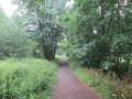
(4) After 250 m, head left towards the banks of the Solre and turn left to follow the river, then turn left again onto the old railway line. Owned by the Nord Department, it crosses the Avesnois from north to south and offers a chance to discover a wide variety of landscapes (huddled countryside, woodland, the banks of the Solre).

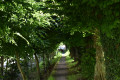
(5) At the site of the old station, carry straight on along the old railway line. Turn left into the site of the old quarry; after crossing the River Solre, continue along the path. Then take Impasse Léo Lagrange. Follow the signposts carefully. Head up to the right and, at No. 45, take the footpath lined with pollarded hornbeams which leads to the town hall (E).

Waypoints

  1. S/E : mi 0 - alt. 459 ft - Town Hall car park
  2. 1 : mi 0.22 - alt. 456 ft - Rue Marx Dormoy on the right
  3. 2 : mi 0.55 - alt. 479 ft - Rue Gabriel Péri on the left
  4. 3 : mi 1.04 - alt. 476 ft - Rue Henri Devorsine on the left
  5. 4 : mi 1.69 - alt. 466 ft - Turn left towards the - Solre (rivière)
  6. 5 : mi 2.4 - alt. 449 ft - Old railway station square
  7. S/E : mi 3.06 - alt. 463 ft - Town Hall car park

Worth a visit

Reviews and comments

4 / 5
Based on 2 reviews

Reliability of the description
4 / 5
Ease of following the route
4 / 5
Route interest
4 / 5
oliber1965
oliber1965

Overall rating : 3.7 / 5

Date of your route : Sep 02, 2024
Reliability of the description : ★★★★☆ Good
Ease of following the route : ★★★★☆ Good
Route interest : ★★★☆☆ Average
Very busy route : No

A well-signposted route that’s lovely to walk with children; if it’s really sunny, a good bit of it runs through woodland, with a bit of variation in the terrain… Great fun!!!!

Machine-translated

Buzzrando
Buzzrando

Overall rating : 4.3 / 5

Date of your route : Oct 24, 2018
Reliability of the description : ★★★★☆ Good
Ease of following the route : ★★★★☆ Good
Route interest : ★★★★★ Very good

Beautiful scenery

Machine-translated

Other walks in the area

For more walks, use our search engine .

The GPS track and description are the property of this route's author. Please do not copy them without permission.