The Trognards Route in Vannes-sur-Cosson

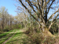
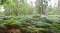
An easy family walk through the typical landscapes of Sologne, featuring several hedgerows of pollarded oaks: these pollarded oaks served as the farmers’ timber supply and formed hedgerows on an embankment enclosing the pastures.

Details

105140750
Creation:
Last update:
Last review:
  • Walking
    Activity: Walking
  • ↔
    Distance: 2.40 mi
  • ◔
    Average duration: 1h 40 
  • ▲
    Difficulty: Easy

  • ⚐
    Back to start: Yes
  • ↗
    Ascent: + 620 ft
  • ↘
    Descent: - 604 ft

  • ▲
    Highest point: 591 ft
  • ▼
    Lowest point: 410 ft

Photos

Description of the walk

Starting point: Place Ythier Privé, the village’s central square, opposite the café and grocery shop.

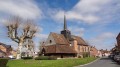
(S/E) Head towards Viglain, passing the bakery. Go round the church on the right.

(1) Behind the church, follow the D120 road to the right. After the bridge, continue straight on along this same road.

(2) Shortly afterwards, near the fire station, take the hard-packed track on the left. At the fork in the road by the horse riding centre, keep right: the track is lined with a first row of pollarded oaks (oaks pruned into pollards).

(3) Leave the Mondésir pond on your right and continue north-north-east along the main gravel track.

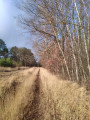
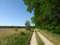
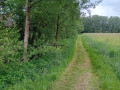
(4) Pass between a small pond on your left and the Grandes Forges farm on your right. The gravel track gives way to a path of sand and grass. After a bend to the left, the path features another series of pollarded oaks.

(5) At a junction, turn left onto the CR5. Then, at the Fork in the road, head right: you’ll then come across the most remarkable series of tree stumps. Where the track joins the D83, follow the left-hand footpath, which takes you back to the village square (S/E).

Waypoints

  1. S/E : mi 0 - alt. 574 ft - Village square
  2. 1 : mi 0.1 - alt. 420 ft - D120 road - Église Saint-Martin (Vannes-sur-Cosson)
  3. 2 : mi 0.29 - alt. 423 ft - Fire station
  4. 3 : mi 0.71 - alt. 430 ft - Étang de Mondésir
  5. 4 : mi 1.16 - alt. 427 ft - Grandes Forges Farm
  6. 5 : mi 1.58 - alt. 433 ft - CR5, known as the Chemin des Limousins
  7. S/E : mi 2.4 - alt. 591 ft - Village square

Notes

- At the start: café and grocery shop, picnic table, shelter and book box.

Worth a visit

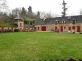
In the village: a fine collection of Solognote houses in polychrome brick and half-timbered style; some very old houses date back to the 17th century

the 16th-century Saint-Martin Church.

Other walks in the area

For more walks, use our search engine .

The GPS track and description are the property of this route's author. Please do not copy them without permission.