Country:
 City:
City:


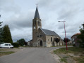
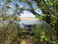
The walk starts at the car park by the Parroy Pond embankment, accessible via the D2.
(S/E) Head for the path along the embankment and turn right. At the small road, turn left. Take the first field path on the right. At the T-junction, turn right.
(1) At the X-junction, take the field path on the left, then follow two 90° bends. You’ll reach a small road. Turn right onto Chemin Saint-Nicolas. At the cemetery, take Rue Saint-Nicolas on the left. You’ll reach the Grande Rue.
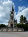
(2) Carry on straight ahead through the village of Parroy. At the church, continue left along the Grande Rue.
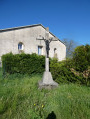
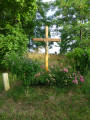
(3) At the junction with the wayside cross, turn right onto Rue des Vignes; the road turns into a track. At the T-junction, turn left and, at the junction at the 250-metre mark, turn left again
(4) At the end of the track, turn right, join the D23 and carry on straight ahead along the canal. Turn right at Mouacourt Lock No. 15 to cross over the Marne-to-Rhine Canal.
(5) Take the cycle path on the left.
(6) At Xures Lock No. 14, turn right onto the D21.
(7) At the entrance to the woods, follow the gravel track to the right.
(8) At the end of the stony track, continue left onto the grassy track, passing under the high-voltage power line.
(9) At the T-junction, turn right onto the grass track.
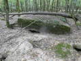
(10) At the junction with several paths, take the second track on the right – the grassy one on the right between the two roads, marked with ‘Couronne Verte’ signs. A little further on, turn right for 15 metres to visit the blockhouse in the woods, then return to the track.
(11) Immediately afterwards, leave the woods and follow the grass track to the right. At the end of the field, under the high-voltage power line, take the 90° left-hand bend. After leaving the edge of the woods, take the 90° left-hand bend. You’ll come to a small road.
(12) Follow it to the right and head towards the village of Mouacourt.
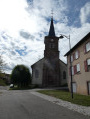
(13) Turn right onto the D2J and cross the village via the Grande Rue. At the church, turn right and leave the village. Join the D2, turn right, but do not cross the canal again.
(5) Take the cycle path on the left, running alongside the canal.
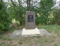
(14) Head uphill to the left, cross the D2, visit the monument and head back down onto the cycle path.
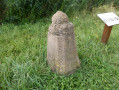
(15) Before the metal bridge, turn left onto the path leading uphill and, at the small road, continue right over the bridge, crossing the canal. At the T-junction, turn left towards the campsite and join the D2. At the junction with the D2, walk past the Borne Vauthier. Continue along the D2 and cross the road carefully opposite the car park entrance (S/E).
 Visorando Member
 Easy
Easy