Country:

 City:
City:


To reach the starting point from Morbier, take the N5 towards Les Rousses, then follow signs for Morez-Bas. Pass under the viaduct, then turn right and immediately left onto the Route de Saint-Claude. At the three-way junction ahead, keep right and follow the D126, which is closed to motor vehicles on Saturdays, Sundays and public holidays. Pass a tight bend under a viaduct and head for the car park at the Doye Gabet site and the ‘Porte Spatio-Temporelle de Bienne’ sculpture.
(S/E) With your back to the road, head for the footpath at the bottom and to the right of the car park.
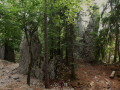
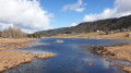
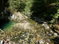
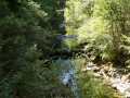
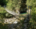
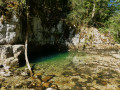
(1) Take the path which descends steeply and reach the bottom of the gorge, with the Trou Bleu on the banks of the Bienne to your left and the Himalayan footbridge over the river.
(2) After taking in the scenery, return along the right bank of the Bienne, take the short wooden walkway on the left, and continue along the path with the river on your left. Head straight on until you reach a fork in the path, where you can get closer to the river.
(3) Carry on to the right along the path, which runs almost parallel to the one you’ve just taken and then climbs up to the road.
(4) Follow the road to the right and you’ll soon reach the car park (S/E).
 Visorando Member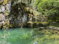

 Difficult
 Moderate