Country:

 City:
City:




Starting point: church car park.
No signposting.
(S/E) Go round the church on the right and follow Rue du Vieux Four, which continues to the right as Rue de Berder.
(1) At a hotel, turn left into Rue Parc Fetan, then right into Rue du Verger.
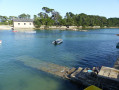
(2) At the three-way junction, take the left-hand Ruelle Etal Berder, which continues to the left as Rue Traversière. Turn right to go down to the ford leading to Île Berder (see the practical information section for details depending on the tide).
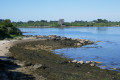
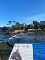
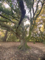
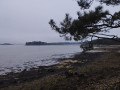
(3) Cross the ford and immediately turn right onto the wide path that takes you round the island in an anti-clockwise direction. The path is shaded by old maritime pines. Depending on the tide level, you may catch a glimpse of the oyster beds. Continue to the southern tip: views of the impressive ‘La Jument’ sea current, the second most powerful in Europe. To your right, views of Île de Gavrinis and Île d’Er Lannic.
(4) Continue along the coastal path to explore the east coast. On your right is Île-aux-Moines, the largest island in the Gulf of Morbihan. The path winds its way through ancient trees. At the north-eastern tip, you’ll find the Sainte-Anne Chapel, built in 1865 (closed).
(5) The path skirts a wide cove. Oyster beds are abundant in this area. Return to the ford and cross it again.
(3) Turn left onto the coastal path after climbing Rue de Berder.
MarkedGR®®34(white and red).
Walk round the harbour cove, pass the jetty for the Cairn de Gavrinis and follow Rue de Pen Lannic. Turn left onto the coastal path which winds round Port Lagaden cove. Continue on to Chemin de Port Lagaden, which skirts an oyster-farming area on the right, and carry on to Pointe de Berchis.
(6) The path skirts a private property on the right and then continues along the Locmiquel cove. On the other side, you’ll see the headland of the same name. Continue along the beach, pass behind some houses and join Rue du Paludo.
Unmarked section
(7) Follow this street to the right; it leads to the church and its car park (S/E).



 Visorando Member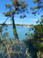



 Moderate