Country:

 City:
City:


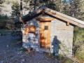
From Digne, take the road to Barcelonnette (D900). At La Javie, turn right onto the D107, towards Prads-Haute-Bléone. Continue along the track and try to park at the last car park: the Espelisses car park
(S/E) Continue along the track which crosses the Male Vesse stream.
(1) At the Espelisses hut, head left towards Troumille. Follow the cairns closely, climb up a scree slope, then head left of the ridge into the forest: red markings. Reach a flat area, descend slightly, then climb back up towards the Troumille hut and its huge enclosure, which you leave on your right.
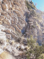
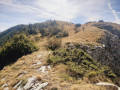
(2) Head to the left of a ruined shelter, then pass in front of the stone enclosure and take an easy gully to the right. Follow the ridge initially to the left (cairns). The ridge then becomes rocky and narrow; a rock step is bypassed to the right (fixed rope in place). Return to the ridge, which you follow more easily but for a long distance to the altitude of 2,595 m.
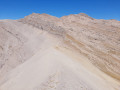
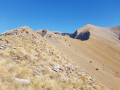
(3) Descend to the unnamed pass, then head due north along the Crête de Chabrières, bypassing the rocky outcrops to the right.
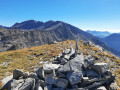
(4) At an altitude of around 2,630 m, head left to rejoin the ridge, keeping to the grassy areas as much as possible. Then follow the ridge as best you can (tracks) to climb the final outcrop, the Tête de Chabrière, which is the summit furthest to the left.
(5) Turn back to an altitude of approximately 2,630 m.
(4) Head left, due east, and join the path leading to the Tête de l’Estrop: wide bands of sandstone.
(6) Descend to the right along this yellow-marked path to the Estrop refuge.
(7) Descend to the footbridge.
(8) Turn right to follow the easy path down, apart from a safety cable at one point.
(9) Pass close to the Piche waterfall and continue along the left bank of the Bléone.
(10) Cross the footbridge over the torrent to reach the right bank and carry on until you reach the Espelisses hut.
(1) Carry on straight ahead to reach the car park (S/E).
 Visorando Member
 Moderate
 Difficult
 Easy
Easy