Country:

 City:
City:


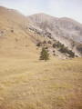
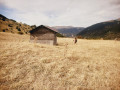
From Digne, head to La Javie, then turn towards Prads. In Prads, cross the Bléone and climb up a good track to Tercier. Park on the flat area before the descent into the village.
(S/E) Head up to the right along the track that skirts the village; soon turn right onto an old grassy track. Enter the forest and continue uphill to reach the mobile phone masts.
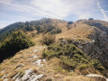
(1) Turn left to follow the south-facing ridge, reaching a pass.
(2) Continue along the ridge to reach a small summit.
(3) Descend a little, then climb back up through the woodland to the right of the ridge until you reach a clearing.
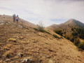
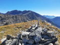
(4) Continue to follow the ridge, which is now grassy. After a long walk along a wide, grassy path, you’ll reach the summit of Montagne du Carton.
(5) Descend easily along the ridge, keeping slightly to the left and following the sheep tracks. After a slightly trickier section – made fairly easy by the sheep tracks – you’ll reach the Col de la Baisse.
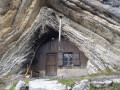
(6) Here, on the left, join a path marked in yellow; descend along the left bank and make a slight ascent (marker post) towards the Cabane Haute de la Baisse (shelter).
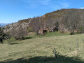
(7) Continue downwards, following the sheep tracks, until you reach the Cabane Basse de la Baisse.
(8) Follow the track downwards. Cross several streams until you reach a fork marked by a cairn.
(9) Continue to the right along the path, which continues to descend, until you reach the edge of the forest.
(10) Carry on straight ahead and, after a short, gentle climb, pass through the hamlet of Tercier before reaching the car park (S/E).
 Visorando Member

 Moderate
 Very difficult