Country:
 City:
City:


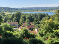
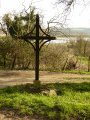
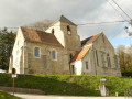
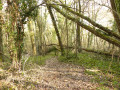
Small square in front of Sainte-Aulde Church.
(S/E) Head due east along Rue du Bourg and pass the covered wash house beneath the church.
(1) Take the first path on the left, the Chemin de la Croix Barrée, to the cross, then continue to the right along the Chemin de Moitièbard, followed by the Chemin de la Mafosse.
(2) Turn left onto Rue des Vernets, then take the second path on the right, heading down towards Charly past the Ru de Caumont, until you reach the junction with Rue des Marais (D80). Red and white markings forthe GR®14A.
(3) Cross the D80 and head up the grassy track that starts diagonally to the right on the other side. At the first houses in Caumont, you’ll come out onto a road; follow it to the left for about forty metres.
(4) Then leave the road and take a stony path on the left. At the first junction, turn right onto the path at the edge of the forest.
(5) You’ll come back onto the tarmac road, but immediately turn left and head up into the woods via the Sentier de la Messe. Ignore several paths branching off to the left.
(6) At the junction (altitude 170), continue straight on. Leave the red and white markings behind until you reach the Route du Limon, which you follow to the right for 200 metres.
(7) Take a stony path on the left for 150 metres, then at the junction, turn right onto theGR®14A, marked in red and white, and follow it through the Bois des Gillayottes
Leave the woods by turning right onto the Sentier des Plantes, then take the Route du Limon on the right for 150 metres.
(8) At the foot of the transmission masts at the 147-metre altitude, turn left, still following theGR®14A, which is marked in red and white.
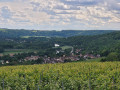
(9) When you reach the hamlet of Le Frouet, leave the red and white markings and follow the path on the left which descends into the Marne valley. Yellow markings.
(10) Turn right at the junction in Courcelles-sous-Méry and follow the path halfway up the slope to the entrance to Caumont. Yellow PR® markings.
(11) Take the path on the left just behind the first house, then cross the road and continue straight ahead to a small bridge, which you cross on the right before reaching the Marne. Continue to follow the yellow markings.
(12) Continue along the path marked in yellow on the right bank of the Marne towards the village of Chamigny. Pass under the railway line and turn right after a pumping station, then immediately left.
(13) Turn right to cross over the railway line, pass the Ferme de Godefroy and continue along the yellow-marked path all the way to Chamigny town hall.
(14) On the right, in Rue Roubineau, look for red and white markings and follow them along a path on the left for 2 km through the woods on the hillside.
(15) Before reaching the road, take a path on the right which descends to the Route du Chenevon. Leave the red and white markings. Pass the farm on your left via an unmaintained track. You can also go round the side of the farm. Join a road.
(16) At the crossroads, first turn right then left and cross the Route du Chenevon, then follow this same path to the Ru de la Belle-Mère wash house. Caution: steep slope and unstable footbridge! The wash house is currently being restored. Head back up to the road.
(17) Turn left onto Rue Pierre Bahin and follow it to the second junction.
(18) Head down Rue de l’Église to the right to reach the church of Saint Aulde (S/E).

 Association / Club / Walk leader

 Visorando Member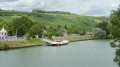
 Difficult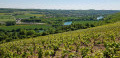
 Very difficult