Country:

 City:
City:



Park in the car park at La Malène
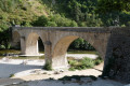
(S/E) Head towards the crossroads in the centre of the village, then walk past the boat operators’ ticket office to cross the bridge.
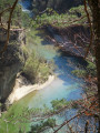
(1) Take the path leading off to the right at the end of the bridge and walk alongside the River Tarn on your right for about 2 km.
(2) Take the path on the left that climbs (towards “Les Vignes”) halfway up the slope through the oak and boxwood trees (shade guaranteed!). At the fork about a hundred metres further on, turn right, leaving the path that climbs up to the Roc des Hourtous.
(3) Les Détroits: the perfect spot for a picnic.
(4) Follow the path leading back up towards Les Vignes. The unmarked path on the right, which isn’t shown on the map and leads downhill, is a possible route to the hamlet of La Croze, although please note that this is private property.
For those who might have tried to visit the hamlet of La Croze, you’ll rejoin the signposted path a little further on.
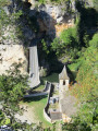
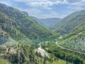
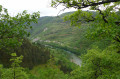
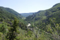
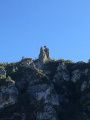
(5) Follow the path through the woodland; a few clearings offer views across to the other side, taking in the Cirque des Baumes, the Point Sublime, the Chapelle Saint-Hilaire, the Baumes Basses, etc. Further on, as you approach the Pas de Soucy, the vegetation thins out, revealing a fine view of the Roc Aiguille and the River Tarn. Shortly afterwards, you reach the junction with the GRP®.
(6) Keep to the right and follow the path through the houses of the hamlet of Le Ménial, then the small village of Saint-Préjet, and finally on to the village of Les Vignes. You will then find the cars you left at the Les Vignes car park for the return journey to La Malène (S/E).


 Visorando Member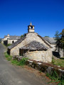
 Difficult
  National Park
 Easy
Easy