Country:

 City:
City:


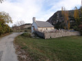
Park in the village of La Valette.
(S/E) Take theGR® de Pays: Around Grand Buech, for 1.7 km.
(1) At the junction, leave theGR® de Pays and turn left (due north) onto the track leading to a crossroads at an altitude of 1,150 metres.
(2) Head right and follow this track to the ruins.
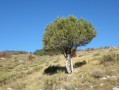
(3) Turn right again, where a rough track, followed by a path through the forest, leads you to a large clearing. Follow this path, keeping to the same contour line, to reach the forest and a well-marked descending path (at the start of the path, look out for a pine tree which will serve as a landmark on the return journey).
(4) Continue straight on along the path, which takes you 1 km further on to the Mourières forest road; follow this to the left for 2 km until you reach a junction.
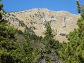
(5) Leave the forest road and turn left onto the signposted path leading to the Crête des Prés at elevation 1566. You are now at the foot of the Durbonas.
(6) Turn left and follow the south-south-east ridge to the Sommet de l’Aup (1,623 m), passing via the Moure de l’Aigle.
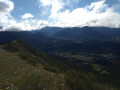
(7) Enjoy the exceptional view before descending off-trail, following the ridge south-eastwards. Pass via the Éperon (1,542 m) and rejoin the ascent path near the pine tree marked earlier.
(4) Then turn right and follow the path you took on the way up, but in the opposite direction.
(2) Take the path opposite, which will bring you back to theGRP® trail from the start; turn right onto this to reach La Valette (S/E).

 Visorando Member

 Moderate
  Easy
Easy