Country:

 City:
City:


Park in the car park below the La Boulangère chairlift in the hamlet of Les Frasses, situated between Notre-Dame de Bellecombe and Les Saisies (D218B).
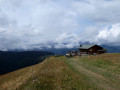
(S/E) From the car park, follow the road for a few metres towards the bend. The path starts at the foot of the chairlift and is signposted towards Lac de Gui, keeping completely to the right via the Chemin des Stappets. The start is a little steep, then the path continues through the forest before opening out onto a grassy slope leading to the hamlet of Le Chapet at a hairpin bend to the left.
(1) Continue the climb via a few hairpin bends which lead a little further up, after a left-hand bend, to a junction marked by a sign pointing to Lac du Gui.
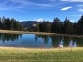
(2) Head down to the right for about 150 m to see this lake, which is more the size of a pond. Then head back up to the previous junction.
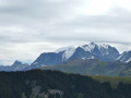
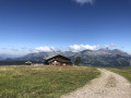
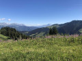
(2) Turn right towards Mont Rond, which you’ll reach by following the forest track to the summit. Lovely view of the eastern face of the Aravis.
(3) To return to Les Frasses, follow the forest track that runs alongside the Mont Rond chairlift to the hamlet of Sur Mouille Froide (IGN elevation 1687) at a crossroads.
(4) Turn 90° to the left towards the west and continue in this direction for about 300 m until you reach another junction.
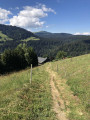
(5) Leave the sign for Le Planay on your right, continue straight on for a few metres, ignore the parallel path on your right which then descends to the right, and take the path that descends to the left. The descent towards Les Frasses is clearly marked by fences on either side of the path. Passing through the mountain pastures, you will reach the car park at the La Boulangère chairlift (S/E).

 Visorando Member
 Difficult
 Moderate