Country:

 City:
City:


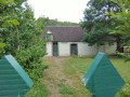
Follow the D320 for 4.5 km from Senonches towards Louvilliers-lès-Perche. About 900 m after the bridge and past the fenced-off wooded area on the left, park at the side of the road alongside the forest.
No signposting
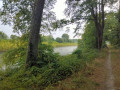
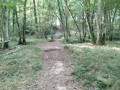
(S/E) 50 m from the last fence post, enter the forest via a clearly marked path that runs along the edge of the woodland and descends towards the Ruisseau de Saint-Cyr.
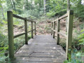
(1) Follow it to the left for 50 m and cross it via a wooden footbridge. After crossing the stream and its tributary, head to the right to join the wide, gravelled forest track. Follow it to the left until you reach a large junction of tracks.
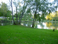
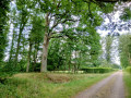
(2) Where the ground surface changes, turn right onto the path between plots 44 and 45. Continue to the main path. Cross the fairly deep ditch, turn left and you will arrive near the Bras de Louvilliers Forest House. On the left is a pond and the “Chêne du Poste de Louvilliers” – a remarkable tree. Continue for a further 100 metres or so along the path.
(3) Take the path on the right (between plots 5 and 6). Follow it until you reach the bridle path.
(4) Turn right. The path follows the top of the Blaise valley. It becomes a footpath and then reaches a crossroads near the Bois du Paradis, where you turn right.
(5) Pass between the boundary of the private woodland and the state-owned forest. Reach the end of the Route Forestière du Bras de Louvilliers.
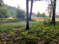
(6) Cross the road and continue straight ahead on the straight path. Descend to fords across the two branches of the Saint Cyr stream – which are usually dry – and climb steeply back up to rejoin the D320. Follow it to the right back to the starting point. (S/E)
 Visorando Member
 Moderate