Country:
 City:
City:


Park in the car park of the sports complex on Route de Moncaut.
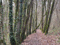
(S/E) Leave the car park via the steps near the sports hall and follow the stony, then grassy, path downhill – a nature trail marked with yellow signposts and information boards about the trees. Continue along this path for 500 m until you reach a road; turn right towards the village, following the blue signposts.
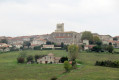
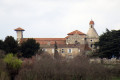
(1) At the ‘Stop’ sign, at the junction with the D931, cross carefully at the pedestrian crossing, walk past the post office and the chemist’s, then take the second pedestrian crossing to the left towards the Grande Rue and the village centre. Continue along this street until you reach the house at No. 33. Between numbers 33 and 35, turn left onto Rue du Château, then immediately turn right, passing the former vicarage (no. 11), which has an information plaque. There is an old well in the centre of the square. Continue along Rue du Château straight ahead, then keep left to take the Chemin de Ronde. Pass the Porte des Maures (information plaque). When you reach No. 6 on the right, take the hairpin bend to the left, marked with yellow signposts. Walk past the orientation table and continue through the garden until you reach a flight of steps on the right. Below the rampart, turn right towards the church.
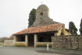
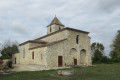
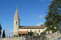
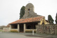
(2) Cross the Boulevard du Couchant (D15) at the pedestrian crossing and head towards the entrance to Saint-Barthélémy Church, where there is an information sign. Walk round the church via the Chemin de Pérès, then turn immediately left onto the Chemin de Lafaizande, following the yellow markings.
(3) When you reach the end of the tarmac road at Lafaizande, No. 268, continue along the grassy path down to a ditch, then carry on uphill to the D931.
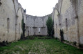
(4) Turn right just before the D931 and walk between the ditch and the field for about 250 metres. Continue to a telephone pole with a yellow marker indicating a left turn, then carry on for about twenty metres until you reach a tree which you must go round to reach the roadside verge before crossing the road. Cross the road very carefully and take the gravelled path opposite towards the ruined church at Cazeaux. Go round the cemetery on the left, ignore a path on the left and you’ll reach a fork in the road.
(5) Head down to the left onto the Route du Nomdieu until you reach a transformer.
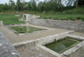
(6) Head down to the right along the dirt track towards a pond, marked with a yellow arrow. Go round it on the left, skirting a ditch. Continue to a second small pond, which you should go round on the left, skirting a hedge, marked with a blue sign. Follow the hedge to a third pond, which you should go round on the right.
(7) At the end of this, take the path on the left, below the embankment, and continue to the right. After two more small ponds, at the pumping station, head up the grassy path on the right to a road at a place called Pont Carros, marked with a blue arrow. Walk carefully alongside the D15 for about 400 metres.
(8) Turn right onto the Chemin de la Couche, heading uphill towards a farm, and cross it (blue markings). Continue along the path leading uphill opposite and, once at the top of the hill, turn right onto the grassy path towards a small copse. Pass to the left of this copse and continue along the grassy, then stony, path until you reach the D208.
(9) Carefully turn right onto the departmental road, which takes you back to the start (S/E).

 Visorando Member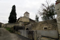

 Moderate