Country:
 City:
City:


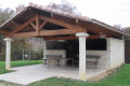
Start from the car park of the André Petit sports hall.
(S/E) Head off to the left. Cross the Route de Roquefort at the pedestrian crossing, follow the pavement to the left and continue to the right along the Chemin de l’Isère until you reach the car park for the school and the town hall. Continue along the road leading to the hamlet known as Le Moulin à Eau.
(1) Just before you reach it, turn onto the stony then grassy path and follow the track to the edge of a poplar grove.
(2) Take the grassy path on the left, cross the bridge and continue to the D922,
(3) Cross the road carefully and continue towards Casse Bas and Casse Haut, following the yellow markings (on the right is a pheasant farm – please do not disturb the birds). Further on, at a left-hand bend, leave the road – which becomes a private road – and continue straight ahead along the grassy track marked ‘chemin communal’ until you reach a Fork in the road.
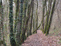
(4) Ignore the stony path leading down to the right and carry on, keeping to the left, along the grassy path. Cross the small copse and continue along the edge of the woodland until you reach a small road; take this to the right, following the blue markings and Yellow Cross. At the end of the tarmac road, continue to the right of the Rosière house along the grassy path which descends towards the village of Plaichac.
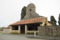
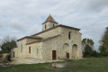
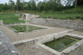
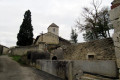
(5) Cross the D656 road with care, then pass through the village of Plaichac, following the Route de l’Église. Walk past the old washhouse and then the church, which is now privately owned. On leaving the village, opposite the cross, continue to the right towards the cemetery, then turn immediately left to follow the Chemin d’Arnauton. Pass to the right of the Arnauton house and continue along the grassy path which climbs opposite to a vineyard.
(6) At the end of the vineyard, leave another path on your right and enter the woodland on the left to descend to a house, the Domaine de Pousergue, which you should go round on the right.
(7) In front of the estate entrance, head down to the D656 road via the small grassy path running alongside the property. Cross the road carefully and head up the grassy path opposite until you reach a road.
(8) Follow this road to the left, following the blue and Yellow Cross markings, until you reach the crossroads further on.
(9) At the junction with a road, continue straight ahead along the stony track marked in yellow until you reach the edge of a woodland. At the edge of the woodland, leave the track straight ahead marked with blue and a Yellow Cross, and turn right along the edge of the woodland, then into the woodland itself. Follow the path marked in yellow, skirting the Samazan stream to the left, cross the small stone bridge, continue along the stream, then head up towards the road.
(10) Turn left and follow this road to return to the starting point and the village of Aubiac; the car park for the André Petit sports hall (basketball and pétanque) is on the left (S/E).



 Visorando Member
 Moderate