Country:

 City:
City:


Start at the large bend to the north of the village of Grand Villard. Easy parking on the left.
(S/E) Head up alongside the Pertusets stream (yellow markings).
(1) Cross an unpleasant stretch of rough, overgrown path. Exit to the right, then immediately turn left. Continue north-west, as if heading for the Tête d’Oriol which overlooks the area (intermittent yellow markings throughout the route).
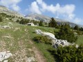
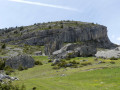
(2) You’ll arrive at a hut. From there, look out for the Crête de la Clape, which you’ll be climbing. It’s the long slope to the right of the Crête d’Oriol, on the left bank of the Vallon des Narrites. From there, you can clearly see the gap in the rocky outcrops where the grassy slope will allow you to reach the Clape ridge easily. Walk past the hut and head straight towards the gap leading to the Crête de la Clape.
(3) After crossing a scree slope at its narrowest point, make a few switchbacks up the grassy slope leading to the broad ridge of the Crête de la Clape.
A long, winding ascent (which you’ll carve out yourself on the grassy slope) allows you to gain altitude quickly. The whole climb might be monotonous, but the scenery is so beautiful that it more than makes up for it.
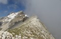
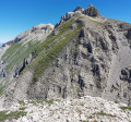
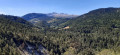
(4) At around 2,200 metres, the slope narrows and becomes an almost horizontal rocky ridge. It overlooks very steep slopes to the right (north). This whole section has a more alpine feel, yet the ridge remains wide and comfortable throughout. For the best views, it’s best to walk as close to the ridge line as possible. However, if you wish to avoid being too close to the drop-off, it is always possible to walk along easy rocky ledges slightly to the left. The terrain is rocky but at no point does it require climbing. In one or two places, if you really want to, you can use your hands a little. But this is entirely optional.
(5) At the end of the ridge, a small bulge can be bypassed to the right. You then descend to a broad pass at 2,246 metres.
(6) At the pass, continue due west up a broad slope, zigzagging as best you can (there are a few faint tracks)
(7) At an altitude of almost 2,500 metres, the triangular slope becomes an easy rocky ridge once more. Follow it – again, occasionally using your hands – for a descent of about 50 metres. The view over the vertiginous slopes of the north face is fantastic.
(8) A final stony slope then leads easily to the summit of La Tête de l’Aupet. Now’s the time to enjoy the view!
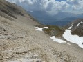
(9) Descend straight down (south-east), keeping slightly to the left, over the large scree slopes. It isn’t always very comfortable, and you’ll need to accept this type of terrain! On part of the descent, there is fine scree which you can descend easily by digging your heels in.
(10) From 2,150 m, the descent alternates between grassy valleys and sections of scree or rocky terrain. You need to be careful. Whenever the grassy slope ends, you’ll see a clear track on the left which you can follow to the next valley.
(11) You eventually reach the wide, flat area at around 1,700 metres, where you’ll find gentle slopes leading to the hut, where you rejoin the ascent route.
(2) Follow the same route back to the car park (S/E).


 Visorando Member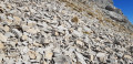
 Difficult

 Moderate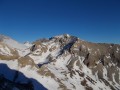
 Easy
Easy 
 Extremely difficult
  Association / Club / Walk leader