Country:
 City:
City:


Park in the school car park.
Blue signposts
(S/E) From the school car park, take the path running alongside the playground and walk through a lovely woodland for 600 m.
Leave this path and turn left onto the path leading uphill.
(1) Cross Rue de Chantoiseau and take Impasse des Lavoirs opposite. Walk along the wall on the left and head down towards the wash house. Continue along Route de la Fontaine and head back up towards the village of Villars. Cross Rue du Puy de Villars and follow Rue des Genevrais opposite.
(2) Cross the RD41 and take the Chemin du Logis de Villars opposite, going round it on the left. At the junction, follow the boundary wall of the Logis to the right and continue to the RD 53. Cross carefully, and take the verge to the left for 120 m.
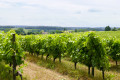
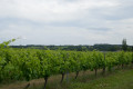
(3) Turn right onto a path running parallel to the road. Cross the D72 and continue straight ahead, staying on the ridge for 2 km through the vineyards to Font Verrière.
(4) Turn left onto Chemin de Font Verrière and carry on straight ahead. At the end, follow the Route des Carrières to the left until you reach the village of Chez Decoux.
(5) Take the second left, the Venelle du Vieux Puits; pass by this well and continue to the left as you leave the village. Continue to the right along the Chemin des Puits – these are ventilation shafts for the mushroom farms. Walk alongside the vineyards for 600 m.
(6) Turn right at the edge of the woods and walk until you reach a road. Take the Route de Chante Alouette straight ahead.
(7) At the crossroads, turn left onto the dirt track leading uphill towards Cheville. Note the stones forming the boundary around the first house in the village. Turn left at the Stop sign and then immediately right onto Rue des Groizilliers.
(8) At the bend in Rue du Point de Vue, turn left onto Chemin des Vignes, which is initially stony and then grassy. Walk downhill to the junction.
(9) Turn right and follow Route de l’Ageasson to the right as far as the petrol station. Turn left to head down towards the Charente.
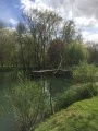
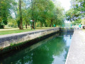
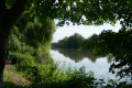
(10) Follow the towpath on the left towards the Pont de la Meure. Continue along the banks of the Charente after the bridge and the rest area. Further on, take the path on the left which leads to Trois-Palis via Rue de la Motte.
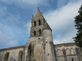
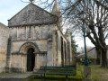
(11) Note the Church of Notre-Dame on your right and carry on straight ahead along Rue du Bourg until you reach the starting point (S/E).


 Visorando Member
 Easy
Easy 
 Tourist office
 Local authority