Country:
 City:
City:


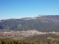
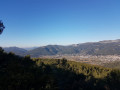

The route starts from a large car park situated right next to a colourfully decorated water tank, 2 km from Camp du Castellet.
(S/E) Cross the road carefully heading south, join a clearly visible path and head to the left.
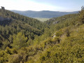
(1) Turn right at this point. Take care not to go the wrong way, as the first path you come to can be misleading. This marks the start of the long descent towards the Castellet countryside. Two points of interest to look out for: the Redonne rock, clearly visible fromthe GR® halfway down the descent towards the east, and the Font de Mars, a small, well-signposted spring on the left very close to the end of this descent.
(2) Take a steep climb of about a hundred metres on the right.
(3) Head up to the right and enjoy the beautiful views over the countryside, from Mont Caume to La Ciotat. Note that you can take a detour to the Pont du Cannet, to the south-west, an ancient Roman bridge dating back over two millennia and very well preserved. It is easy to spot on the map and the surrounding area is easily accessible.
(4) Turn left and continue up the track.
(5) Take a path on the right and you’ll arrive near an ancient Roman camp, the Camp de Peno. It’s impossible to see any remains as the vegetation has completely overgrown the site. Only the satellite image reveals a few rows of stones. Carry on straight ahead.
(6) Turn slightly left, find the road and cross it carefully. Join a path and head to the right.
(7) Turn left onto a path signposted “Barres de Castillon”. Keep going straight on, ignoring several offshoots on either side of the track. You can’t go wrong.
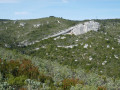
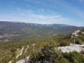
(8) Turn right and head to the very end of the path. You’ll emerge onto the Barres de Castillon ridge – take a moment to enjoy the view.
(9) Follow the ridge to the right. The path winds along, sometimes getting closer to the edge, sometimes moving away from it, but it’s easy to find your way. Keep an eye on children near the edges of the ridge.
(10) The path veers off to the right. Follow it for 600 metres, ignoring a turn-off to the right halfway along which leads to private properties.
(11) You’ll come to a wide track; take this to the right. Follow it for over a kilometre.
(12) Turn right and, after 300 metres, you’ll reach the car park (S/E).




 Visorando Member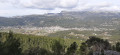
 Easy
Easy 
 Difficult