


 Country:

 City:


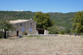
Park at the bottom of the Combe du Puits Verrier at the entrance to the track, 50 m to the right of the house, near a cedar tree. Access via the D942
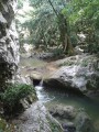
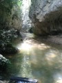
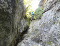
(S/E) Follow this road, turn right and take the small path leading up to the bottom of the valley. Walk for about 75 m, then turn left and head up the slope. If you continue to the bottom of the valley, you will come to an impassable cliff a little further on. Climb over a scree slope, then cross a steep section above a rock face. You will then reach the bottom of the valley again. At this point, you can see a sinkhole on the left.
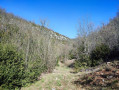
Follow the path at the bottom of the valley. Cross some charcoal kilns. Reach the start of a track near an old hunter’s lookout post, next to a hole dug to water the game. Follow this track. You’ll come to a point where the track leaves the valley floor and climbs to the right. This is where the route is circular.
(1) Leave the return route on your left. Continue up the track (a slightly steep section) until you reach the Fork in the road on the ridge.
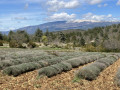
(2) Turn right to make a round trip to the Pointes d’Éguilles for the panoramic views (this detour can be avoided if you prefer a shorterwalk ). Follow the track downhill, then uphill. Pass a thrush hunting post and continue along a path to a viewpoint overlooking the Nesque valley, offering sweeping panoramic views.
(3) Enjoy the view, then retrace your steps to the Fork in the road.
(2) Take the track on the right, which climbs up a broad, wooded ridge. About 1 km further on, as the descent begins, look out for a small track on the right and then, a few metres further on, a small track on the left before the junction with the D1a.
(4) Follow this track to the left. About a hundred metres further on, when it bends to the left, continue along a path opposite to join, slightly to the right, an old village track recognisable by the remains of the stone walls that once lined it. Follow this track until you come across the remains of another village track at a right angle. Take this to the right, then, as you approach some pastures, head down to the left and reach the bottom of a valley.
(5) Head back up opposite, following a fence, until you reach a fork in the paths. Turn left and walk level between two low stone walls until you reach another fork in the paths. Leave the level path and take a small path to the left which runs alongside a low stone wall to the right of the other wall. Head down to cross the thalweg and climb back up the other side. You’ll reach another fork. Leave the level path to head down to the left and continue to the bottom of the valley.
(6) Turn right onto the path there. Admire the stone structures built long ago at the bottom of this valley. Ignore the path (an old track) which climbs to the right towards La Gabelle. Further down, you’ll come across a charcoal kiln with very black ground, flanked by the ruins of a shelter to one side. Finally, rejoin the track you took on the way there.
(1) Then retrace your steps along the route you took on the way there. To do this, follow the track, then the path at the bottom of the valley; go round the cliff via the path that climbs to the right and then descends steeply, and return to the starting point (S/E).
 Visorando Member

 Difficult


 Easy

