Country:

 City:
City:


Park in front of the pretty church in Brezons.
(S/E) Admire the scenery and spot the Croix de Montréal, clearly visible high up in white against the backdrop of the forest. Walk down along the road (which has moderate traffic in summer), pass the cemetery and reach the three-way junction in the road.
(1) Turn left to cross the bridge over the Brézons and continue along the RD57.
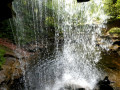
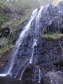
(2) Follow the sign for ‘Waterfall’ by taking the path which climbs to the left of the road and rejoins it a little further up. Cross the road again and take the path opposite, signposted ‘Waterfall de Montréal’. You’ll reach the viewpoint overlooking the waterfall.
(3) After admiring the waterfall, climb the wooden steps back up to the road.
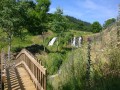
(4) Turn left onto the road, which slopes down slightly for a few metres, then head up the path diagonally to the right. Pass two ‘passadoux’ (gates or barriers to stop cows), and continue to a crossroads with a wayside shrine.
(5) Head up to the right along a road leading towards a farm. After 50 m, take the path on the right which goes round the farm and leads to a small crossroads of paths amongst the trees.
(6) Take the path leading uphill to the left, cross a footbridge and reach the Croix de Montréal: superb views across the whole valley and the plateau opposite.
(7) Head back to the junction.
(6) Take the path on the left , which leads downhill. Caution: the path is steep and slippery; anyone who is not sure-footed should return via the route taken on the way up. Join the road and follow it straight on until you reach the flight of steps you took on the way up.
(4) Go down the stairs on the left and follow the outward route in the opposite direction to return to the village and the car park (S/E).
 Visorando Member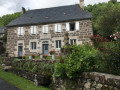

 Association / Club / Walk leader
 Easy
Easy