Country:
 City:
City:


Start from the car park at the Salle des Fêtes, Place du Souvenir.
(S/E) Walk up the road, passing the old schools. At the junction immediately after, turn right, walk past a house and continue along the path opposite. Walk straight on until you reach a road.
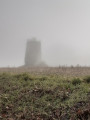
(1) At the road, turn left, go straight on and then continue along the path that runs alongside the road. Pass close to three old windmills on your right.
Carry on straight ahead along the path and then along the road for about 200 metres.
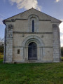
(2) At the right-hand bend in the road, take the path opposite, follow it to a road and turn right. Enjoy a beautiful view of the countryside and, in the distance to the south-south-east, you’ll see the Templar Chapel, marked as ‘Temple’ on the map.
(3) Turn left at the next road, Route des Perrucauds. Follow this road and pass through the hamlet of Les Jouberteries. After the hamlet, look out in the distance to the east for the Blanzac cemetery.
Next, pass through the hamlet of Chez Merceron.
(4) Turn left onto the first path after the Chez Merceron farm. Opposite an electricity pole, there is a brown cross which seems to indicate that a walking trail does not follow the road, and in blue there is a very large inscription reading ‘RV’.
“On the map there is a stone or wooden cross, but it no longer exists.” Take the path leading downhill where there is a walnut tree on the left-hand side of the path.
Follow the path, passing close to the pond and skirting round it, keeping it on your left. Follow the path to the hamlet of Font Marzelle.
(5) Continue along the road ahead, pass the hamlet of La Gabelle and carry on along the road until you reach the entrance to the village of Péreuil.
(6) Turn left at the first road, Rue des Rosiers, follow the street to the junction and turn right. Walk past the old schools, follow the road to the cemetery and head towards the Place du Souvenir (S/E).

 Visorando Member

 Moderate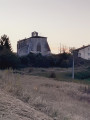
 Tourist office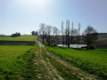
 Local authority