Country:

 City:
City:


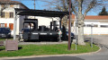
Park in the car park at the community hall.
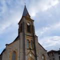
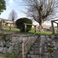
(S/E) From the car park, head straight on towards the church along Rue du Stade. Turn right to cross the town hall car park, passing in front of the steps. At the end, go up the small cul-de-sac, leave the library on your left and turn right until you reach the Placettes wash house.
(1) Join the Chemin des Placettes and continue to the junction where there are some children’s play equipment and a picnic table. Carry straight on to join the D27: at the junction, you will see the Milottiers state school in the distance on your left.
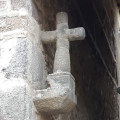
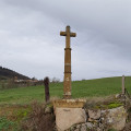
Cross the road and take the Montée de la Grande Croix opposite, continuing until you reach the hairpin bend to the right. On your left, you’ll see the village’s second wash house and, on your right, the Grande Croix.
(2) Turn right onto the Chemin de la Terre Ronde. Walk past the two factories, go round the last one by turning left and continue to athird building. Take the dirt track on the right which leads down to the Étang des Olmes. Follow the track uphill to the Olmes neighbourhood. When you reach the tarmac road, turn left.
(3) At the junction, turn right then left. Carry on straight ahead behind the farm, then head down the dirt track on your left until you reach the D4.
(4) Turn left and walk carefully along the road for about 100 m. Follow the mountain bike signs and take the barely visible dirt track on your right, well before the bend. Walk past the farms, continuing straight on behind the cattle shed. Walk as far as the bins (the ‘des 4 chemins’ crossroads).
(5) Carry on straight ahead along the Chemin du Giroud, ignore the first dirt track on your left and take the next one. Carry on straight ahead until you reach the Yellow Cross.
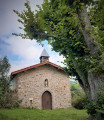
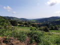
(6) Carry on to the right until you reach the Madone site: chapel, picnic area and 360° panoramic view, public toilets. Then retrace your steps, leave the site and turn left down the hill to the Croix de la Brioude at the D4 at an elevation of 729.
(7) Cross the road with care and continue straight ahead towards Saint-Marcel, until you reach the Étang Cross. Leave the path to the inn on your right and take the first dirt track immediately on your left. Continue until you reach the tarmac road at the bottom of the village.
(8) Head up to the left onto Rue de l’Abattoir. On your right, you’ll find the Burie picnic area with a boules court. Turn back and continue along the road to the top of the hill. Turn right onto the Grande Rue. Once you reach the market square, walk between the small shop and a garage, then go down the cul-de-sac to Rue Neuve.
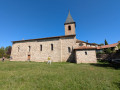
Turn right, cross the road carefully and go down the steps to the church. Take Rue Profonde on the right and, once at the bottom, look for the Croix Rousse in front of you.
Turn left, walk past the cemetery and return to your starting point (S/E)


 Association / Club / Walk leader
 Average
 Visorando Member