


 Country:

 City:
City:


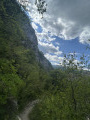
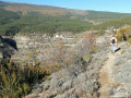
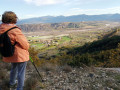
The walk starts from the village of Antonaves. From the D942 or D948 between Laragne and Sisteron, head towards Châteauneuf-de-Chabre then Antonaves. Make your way to the car park at the top of the village.
(S/E) Head back down towards the village, pass the town hall and continue towards the Pic de Saint Cyr. The route is signposted and marked in yellow and red.
(1) At the “Rivet 667 m” junction, keep to the right, following the signs for “Circular Route – Pont Roman”.
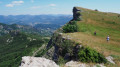
(2) When you reach the highest point of the walk (“La Plaine 755 m”), turn right: the route is still signposted.
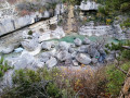
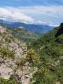
(3) After about 500 m, be careful not to miss the path that veers sharply to the right: there are a few yellow markers during the descent. The slope becomes quite steep in places. After a long descent, you’ll arrive above the Gorges de la Méouge, not far from the Roman Bridge, which you can reach via a short round trip.
(4) Continue towards Antonaves, heading uphill through the forest. The path is marked in red and yellow once again. Keep heading in the same direction and reach the village by coming out onto Chemin de Daumas. Go straight on, then first turn right then left at the junction to pass the town hall again and reach the car park (S/E).

 Visorando Member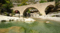
 Very difficult
 Difficult
 Easy
Easy 
