Country:
 City:
City:


To reach the starting point, take the D53 towards Prugny, cross over the motorway and take the first track suitable for vehicles, until you reach the three-way junction where two dirt tracks meet.
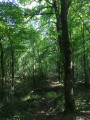
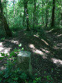
(S/E) Take the dirt track on the left, which climbs steadily towards the forest. At the edge of the woodland, take the forest track on the right. Go round plot no. 10 on your left and you’ll come out onto a field with a view of La Grange-aux-Rez.
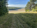
(1) Do not follow the path running alongside the field, but continue through the woods, keeping to the left of plot no. 10. You’ll emerge into a field with a view of Messon and Prugny, then take the path that climbs to the left between plots no. 10 and no. 11.
(2) At the junction (elevation 225), turn right onto a sunken path. Now walk alongside plot no. 11.
After 150 m, leave this path, which becomes difficult to follow, and take the mountain bike trail on the right. After completing a circular route, rejoin a path that continues to run alongside plot no. 11.
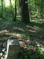
At the junction (marker 11/12), continue in the same direction. You will now be walking alongside plot no. 12. The path turns left.
It is sometimes necessary to leave the path for a few metres when there is too much water. A mountain bike trail runs alongside it on the right. Avoid several puddles.
(3) The finish at the edge of the woodland (elevation 246) marks the boundary of plot no. 12.
Do not join the white track visible on the right.
Without leaving the woodland, take the path on the left (for about 300 m).
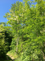
(4) At the fork, turn right to descend via the mountain bike track. You’ll soon rejoin the path which descends directly alongside a ditch that’s difficult to navigate. You’ll see a recent clear-cut area on the left before crossing a large copse of acacia trees.
Leave the woodland (elevation 199), continuing in the same direction, to rejoin the path you took on the way there. Follow it to the right until you reach the track (S/E).

 Visorando Member
 Moderate