Country:

 City:
City:


(S/E) Start from the village square in the hamlet of Grattenoix, at the junction of Rue de la Chapelle and Rue de la Cavée.
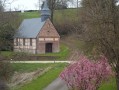
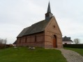
At the fork in the road marking the junction of these two streets, turn right onto the D102, heading south-west. Pass through the hamlet of Grattenoix, passing the Chapel of Saint John the Baptist on your left.
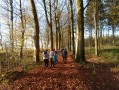
(1) As you leave the hamlet, take the path on the left near the water tower and head into the woods. Follow the path to a Fork in the road, then continue to the right until you reach a crossroads.
(2) Turn right and carry on until you reach another crossroads.
(3) Take the steep path on your right which leads down towards Beaussault until you reach the T-junction with Impasse du Cimetière.
(4) Turn left and follow the cul-de-sac down to the junction with the D35.
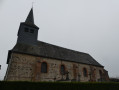
(5) Take the D35 on your right, passing the Church of Saint-Firmin in Beaussault on your left and the former priory on your right.
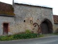
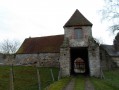
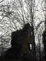
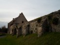
Continue along this road, passing the war memorial, and take the cul-de-sac on your left, which will lead you to the entrance to the old fortified castle (private property).
(6) Turn round to get back onto the D35. Carry on to the left, pass the town hall and school, then turn into the first street on your left, the Chemin à l’Eau.
(7) Follow this street until you reach a T-junction, then turn left towards Petit Beaussault. Continue along this street, which takes a sharp right-hand bend.
(8) Turn left onto theGR® de Pays (marked in red and yellow). Follow this path for 1,950 metres until you reach a junction. Then turn left onto the path which slopes down slightly, then left again 100 metres further on.
(9) At the end of the track, join the tarmac road known as Impasse du Bois Hulin and carry on straight ahead until you reach the junction with the D35.
(10) Cross the D35, then take the Route de la Cavée opposite for 2.3 km to reach Grattenoix and the village square, your starting point (S/E).

 Visorando Member
 Moderate