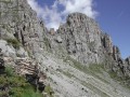
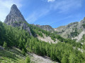
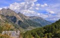
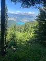
The Beaume Valley from Les Méans

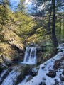
An easy round-trip hike that takes you along the Torrent de Reyssas, where you can dip your feet just before the pretty Vallon de la Beaume. At the end of the route, you can continue on to the Col de Reyssas or Lac Brun (about 1 hour each), or even towards the Col de Trempa-Latz.
Please note: mountain pastures. Dogs, even on a lead, are prohibited by local by-law, generally from 1 June onwards. You may encounter local sheepdogs: please remain cautious and respectful of grazing areas.

Details

97592813
Creation:
Last update:
Last review:
  • Walking
    Activity: Walking
  • ↔
    Distance: 6.80 mi
  • ◔
    Average duration: 5h 20 
  • ▲
    Difficulty: Moderate

  • ⚐
    Back to start: Yes
  • ↗
    Ascent: + 2,493 ft
  • ↘
    Descent: - 2,493 ft

  • ▲
    Highest point: 6,673 ft
  • ▼
    Lowest point: 4,180 ft

Photos

Description of the walk

Start: the hamlet of Les Méans (Réallon), with parking spaces near the Oratoire Sainte-Barbe.

(S/E) Take the path on the other side of the road (sign for the Écrins National Park). Join the GR®50, marked in red and white.

(1) Follow it to the right.

(2) At the Torrent de Reyssas bridge,continue straight on for about 200 metres until you reach a junction.

(3) Take the path on the left, leaving the GR®. Please note: immediately follow the small stony path on the right. It soon joins a path climbing up to the left, which you should follow to the Vallon de la Beaume.

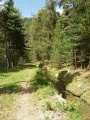
(4) Ignore the paths coming in from the right (the IGN map is not up to date in this area; use OSM Rando or the Visorando app instead). Continue along the path through the forest that runs alongside the stream above

(5) Ignore the path leading to the shepherd’s hut on the left and head right towards the bottom of the Vallon de la Beaume.

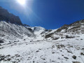
(6) Admire this beautiful valley, then return to the car park via the reverse route of the outward journey.

Or extend the walk with three options: Col de Reyssas: cross the stream; Lac Brun: continue to the bottom of the valley; Col de Trempa-Latz: same direction as Lac Brun. Allow an extra 2 to 3 hours for each destination (return trip).

Waypoints

  1. S/E : mi 0 - alt. 4,180 ft - The hamlet of Les Méans, oratory
  2. 1 : mi 0.12 - alt. 4,278 ft - GR50
  3. 2 : mi 1.46 - alt. 4,810 ft - Reyssas Bridge
  4. 3 : mi 1.62 - alt. 4,948 ft - Left-right-left.
  5. 4 : mi 2.69 - alt. 5,984 ft - Straight ahead
  6. 5 : mi 3.14 - alt. 6,348 ft - Main path towards the east
  7. 6 : mi 3.4 - alt. 6,673 ft - Bottom of the Vallon de la Beaume
  8. S/E : mi 6.8 - alt. 4,180 ft - The hamlet of Les Méans, oratory

Notes

A long climb through woods cooled by the stream, pleasant in summer when the heat is intense. Take water with you, as there are no drinking water points.

Worth a visit

You can continue the hike to Lac Brun, one of the five lakes considered sacred before the advent of Christianity. The Saint-Guillaume pilgrimage is a tradition dating back several centuries. The most intrepid would continue from Mont-Guillaume, passing through the Col de Trempa-Latz, to reach Lac Brun.

Always be cautious and plan ahead when you're outdoors. Visorando and the author of this route cannot be held responsible for any accidents occurring on this route.

The GR® and PR® markings are the intellectual property of the Fédération Française de Randonnée Pédestre.

Other walks in the area

For more walks, use our search engine .

The GPS track and description are the property of this route's author. Please do not copy them without permission.