Country:

 City:
City:


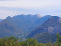
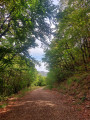
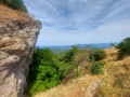
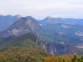
Access: Take the forest track immediately to the left after the Col du Pas de Lauzens towards Aouste sur Sye, where you can park before the barrier.
(S/E) Follow this track, which climbs gradually up the north-facing slope of the mountain until it ends.
(1) Continue along a path that starts where the track ends, cross the small Tourare ravine to reach the south-facing slope and continue gently uphill to the Pas de l'Echelette.
(2) Turn left towards "Sommet de Roche Colombe" and climb about 100 metres to reach point 817 (the most difficult part). Then continue along the relatively flat path that follows the ridge.
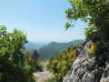
(3) The highest point is marked by a boundary stone, a cairn and a bench. The end of the hike is a little further on, at point 884.
(4) Leave the trail that curves down to the left; turn around and retrace your steps to return to the Col du Pas de Lauzens via the same route (S/E).




 Visorando Member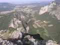
 Difficult
 Local authority
 Moderate