Country:

 City:
City:


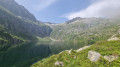
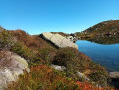
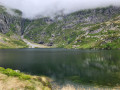
(S) After enjoying the sunrise over the Étang de Bassiès, set off again along the same path as the previous day.
Head down towards the wooden gate, go through it and follow the fence around the campsite.
(1) Cross the footbridge. Reach the fork in the path and join the GR®10. Wooden signpost.
Red and white markings for the GR®10
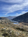
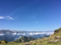
(2) Follow the signs for Port de Bassiès (1h30). Head left up the GR®10 path, which is very difficult and steep. After this strenuous climb, you’ll reach the junction at Port de Bassiès . A truly beautiful spot. 360° panoramic view.
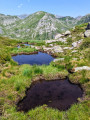
(3) Continue straight ahead, initially on a difficult path that is almost level. Then descend amongst the rocks and reach the shores of the Étang d’Alate at elevation 1,869. To the north-west and north, the ridge path is just visible.
(4) Descend a little amongst the rocks and scree, then climb very steeply due north along a wide, stony path carved into the rock. Reach this unnamed pass.
(5) Begin a tricky descent along a stony and therefore slippery path, then reach the Port de Saleix at an elevation of 1793. Signpost destroyed. No indication regarding the GRP® route to follow.
(6) Take care. Leave the GR®10. Climb straight ahead, due north, along a track on the grassy ridge for approximately 120 m.
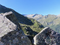
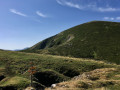
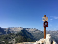
(7) Take care. Climb to the left, staying on the grassy ridge path. The ridge path then turns north, north-east. Make sure you stay on the main path, always following the ridge. At an altitude of around 2,000 m, the gradient becomes much steeper. After this strenuous climb, you’ll finally reach the summit of Pic de Girantès or Mont Ceint at an elevation of 2,088. There’s a post with a lovely letterbox and an information sign detailing the story of a shepherd during the Second World War. As luck would have it, the postman happened to be passing by on the day I was there! A lovely encounter.
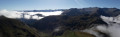
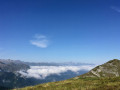
(8) Take in the fabulous 360° panorama. The climbs are over. All that remains is a steady descent. So head down towards the north-east through vegetation reclaiming the better-maintained mountain pasture. Very quickly, the path – which is very clearly marked on the ground – turns broadly north, then descends and climbs slightly before reaching a brand-new signpost (as of mid-July 2026). A very beautiful spot.
(9) Continue first on level ground heading north, then quickly downhill towards the north-west along a stony and slippery path. Much further down, you’ll reach an unnamed pass at an elevation of 1,839. A lovely spot.
(10) Turn right, at a 90° angle, and begin a north-easterly descent along a difficult track. At an elevation of 1,667, the path turns eastwards and enters the forest. Take extra care. After a few hairpin bends, you’ll emerge from the forest. The D18 road and the car park come into view opposite. Continue in this direction along a straight path running alongside a fence until you reach the road. Return to the walkers’ car park (E) and the end of the second day.
 Visorando Member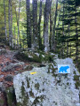
 Moderate