Short walk around Lac Noir

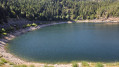
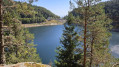
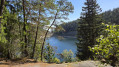
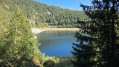
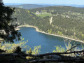
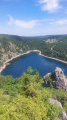
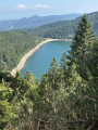
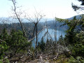
A short circular route revealing the unexpected splendour of Lac Noir. The untamed beauty of the path that skirts the lake will take you by surprise. Take in the many geological features dotted along the route and enjoy the magnificent views.

Details

106228529
Creation:
Last update:
Last review:
  • Walking
    Activity: Walking
  • ↔
    Distance: 1.19 mi
  • ◔
    Average duration: 0h 45 
  • ▲
    Difficulty: Easy

  • ⚐
    Back to start: Yes
  • ↗
    Ascent: + 236 ft
  • ↘
    Descent: - 236 ft

  • ▲
    Highest point: 3,369 ft
  • ▼
    Lowest point: 3,127 ft

Photos

Description of the walk

From the Col du Calvaire, head towards Lac Blanc, then turn right towards Lac Noir. Park in the car park.

Yellow Saltire signposts

(S/E) From the car park, turn left to begin the walk round the lake in a clockwise direction. Cross a stream and keep as close as possible to the lake, which is on your right.

(1) Cross a wooden footbridge and climb to the highest point of the lakeside walk.

(2) Begin the descent and reach a fork in the road directly beneath a power line.

(3) Continue downhill to the right to reach the lakeside and the car park (S/E).

Waypoints

  1. S/E : mi 0 - alt. 3,133 ft - Car park at the - Lac Noir
  2. 1 : mi 0.39 - alt. 3,189 ft - Footbridge
  3. 2 : mi 0.53 - alt. 3,360 ft - Highest point of the route
  4. 3 : mi 0.88 - alt. 3,297 ft - Fork
  5. S/E : mi 1.2 - alt. 3,133 ft - Car park at the - Lac Noir

Notes

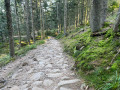
The path is very easy up to point (1). For the rest of the route, the path is very stony, with roots and a very short climb. However, there are no major difficulties for most walkers, nor for children over the age of 6. Sturdy footwear is essential.

Other walks in the area

For more walks, use our search engine .

The GPS track and description are the property of this route's author. Please do not copy them without permission.