Country:

 City:




Park in the designated spaces at the side of the road or in the Terre Rouge car park: free from 23 August until the start of the winter season.
(S/E) Head towards the Bois Méan and Préclaux magic carpets, passing between the Hauts de Préclaux holiday rentals and the two picnic tables.
(1) Once past the second magic carpet, take the small path opposite to join the main forest track.
(2) Turn right onto this main track and walk past the mountain restaurant Le Refuge étoilé.
(3) Take the hairpin bend to the left to go round the back of the building and continue along this wide track to the Pousterle chairlift departure station.
(4) Take the chairlift to reduce the elevation gain on the ascent.
(5) Once you arrive, head left, then take a small path on the right leading up through the rocks. Join a track: marked in blue.
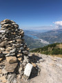
(6) Turn right to follow this red-marked track, which leads to the Tête du Vallon Rémolon and its orientation table. This is the starting point of the route marked in black with black circles.
(7) The path continues slightly to the left before heading along the ridge towards the Aupillon. A steep climb leads to the summit of the Montagne de l’Alpe de Verdun. Reach the Col Nord de l’Aupillon.
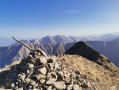
(8) Take the path on the right and below, then head back up towards the Aupillon . A very steep climb awaits you all the way to the summit. Always follow the Black Circles, which provide reassurance and help you stay on the path, as it is not always obvious. Reach the Aupillon, the highest point of the hike at 2,916 m: 360° panoramic view.
(9) Continue along the path which follows the ridge and descends to reach the Col de l’Âne, also known as the Col de l’Eissalete on some maps: this marks the end of the black-marked route.
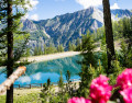
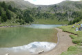
(10) Head down to the right via a series of hairpin bends, which are quite tight at the start, to reach Lac de Sainte-Marguerite. Walk along the left bank of the lake until you reach a junction of paths.
(11) Take the path on the far left across the meadow and turn left again at the next fork. Join the forest track.
(12) Leave the grassy path leading to the Cabane du Lac on your left, continue straight on along the forest road and reach a hairpin bend.
(13) Carry on to the right, negotiate the hairpin bend to the left, then take the path on the right which serves as a shortcut, cutting across a long bend in the track: very steep descent. Return to the track, follow it to the right, then cross the Torrent de l’Eyssalette and reach the Bergerie Gautier.
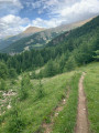
(14) Take the path that branches off to the right into the woodland and leads to the Route de Bois Méan.
(15) Continue straight on to the car park (S/E).
 Visorando Member
 Very difficult

 Moderate
 Easy
 Tourist office