Country:

 City:


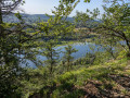
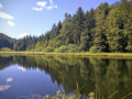
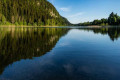
To reach the start point, head towards Étival on the D118. Drive through the village until you see the sign pointing towards the lakes. Follow this direction to the car park located just before the pass between the two lakes.
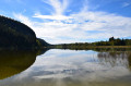
(S/E) From the car park, follow the road eastwards (yellow markings) as it winds between the two lakes and runs along the southern, right-hand bank of the Grand Lac to its end. Carry on straight ahead, keeping the peat bog on your right, and continue to the Y-junction.
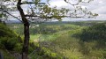
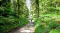
(1) Turn left onto the forest track. Stay on this wide track for about 500 m, then take the hairpin bend that climbs to the left towards the north-north-east and joins the ridge at La Séa. At the Y-junction, take the right-hand path: please note that you will temporarily leave the yellow markings. Reach the wooded ridge from where you can see the secluded Lac de la Fauge to your right in its valley. Continue on to reach L’Espinois, on the edge of the forest road.
(2) Turn right to head for the shore of Lac de la Fauge, situated 450 m away.
(3) Turn back.
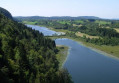
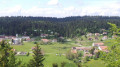
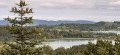
(2) Head straight up to the left, then shortly afterwards take a path to the right to reach the Lacs d’Étival viewpoint and rejoin the forest road after a steep descent along the narrow path through the trees.
(4) Étival Lakes viewpoint: from the viewpoint, return to the hairpin bend on the forest road and head
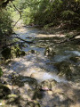
along the forest track on the left heading north. Without changing direction, descend gradually through the forest (the track is muddy in places) to join the D308 at Champs Gadout.
(5) Take the D308 to the left for about 200 m, then turn left again to follow the edge of the forest (a damp track) and then the Petit Lac d’Étival. You’ll come to the Grand Lac and your starting car park on the right (S/E).


 Visorando Member

 Tourist office
 Moderate
 Association / Club / Walk leader