Country:
 City:
City:


Park in the large car park at Saint-Évarzec Town Hall.
Yellow markings on signposts
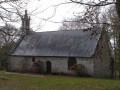
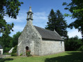
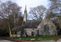
(S/E With your back to the car park, head towards the main street and turn left towards Saint-Primel Church.
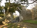
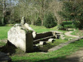
(1) Go round the church on the left and cross a garden (old well and large stone trough). You’ll come out onto a street; follow it to the right for about fifty metres.
(2) When the street bends to the right, turn left onto a path leading downhill. Cross Rue de la Fontaine and enter Saint-Primel Park (with a fountain and washhouse at the entrance).
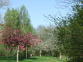
(3) Just past the entrance, turn left (a slight deviation from the signposted route). Begin walking round the pond in a clockwise direction. Three-quarters of the way round, continue straight on to the park’s eastern exit. You will then rejoin the signposted route.
(4) Turn left and follow the footpath which goes round a residential area and leads to a road.
(5) Follow this road to the left, using the lane designated for pedestrians and cyclists (the markings are rather faded). After about a hundred metres, turn right to cross the road at the pedestrian crossing, taking care. Continue straight ahead onto the Sentier de la Petite Garenne (signposted). This narrow grassy path winds its way through fields and joins the Bois du Moustoir.
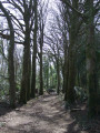
(6) At the signpost, turn right onto a wide path at the edge of the woodland. You’ll reach a junction marked by another signpost; continue along a lovely beech-lined path. Carry on along a track that leads deeper into the woodland. Follow the signposts carefully along this single path, which winds through the woods in a sort of loop in an anti-clockwise direction, alternating between gentle ascents and descents.
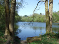
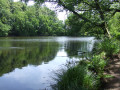
(7) You’ll emerge onto a wide avenue; follow it to the right. The avenue is lined with old trees and young plantations and leads to a pond from which the Ruisseau de Saint-Cadou flows, eventually emptying into a cove of the Odet. Walk along the right-hand side of this pond, then continue along the edge of the woodland on a wide, recently laid white path (2025) to reach a car park.
(8) At the exit, turn left and head uphill, following the edge of the woodland until you reach the junction with the outbound path (viewpoint over the village of Saint-Évarzec).
(6) Turn right and retrace your steps along the outbound route, eventually coming out onto the road. Cross it again carefully at the pedestrian crossing and continue left along the designated footpath.
(5) Carry on straight ahead along the road until you reach a roundabout. Then turn right into Rue de la Fontaine and follow this road, ignoring the first two streets on the right. Turn right at the third street and you’ll reach the entrance to Parc Saint-Primel.
(4) Turn left and follow the first path, which leads to a fork in the road taken on the way there.
(3) Turn left, cross Rue de la Fontaine and follow the path which climbs towards the church.
(2) Carry on straight ahead, leaving the church on your right. You’ll come out onto the main street (Rue de l’Argoat) and follow it to the right.
(1) At the corner by the church, carry on straight ahead. After the first junction, turn right to return to the town hall car park (S/E).
 Visorando Member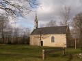

 Moderate